Bald Head River (Newfoundland)
| Bald Head River | |
| River | |
| Country | Canada |
|---|---|
| Province | Newfoundland and Labrador |
| Electoral District | Ferryland |
| Source | Unnamed lake |
| - elevation | 96 m (315 ft) |
| - coordinates | 47°20′16″N 52°44′49″W / 47.33778°N 52.74694°W |
| Mouth | Atlantic Ocean |
| - elevation | 0 m (0 ft) |
| - coordinates | 47°19′23″N 52°44′32″W / 47.32306°N 52.74222°WCoordinates: 47°19′23″N 52°44′32″W / 47.32306°N 52.74222°W |
| Length | 2 km (1 mi) |
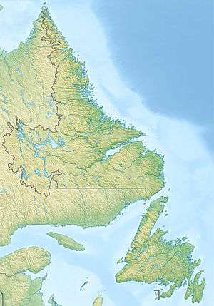 Location of the mouth of the Bald Head River in Newfoundland and Labrador | |
The Bald Head River is a short river in Ferryland electoral district on the Avalon Peninsula in Newfoundland and Labrador, Canada. It flows from an unnamed lake through Bald Head Pond to its mouth at the Atlantic Ocean near a headland named Bald Head and about 5.5 kilometres (3.4 mi) northeast of the community of Bay Bulls.
References
- "Bald Head River". Geographical Names Data Base. Natural Resources Canada. Retrieved 2011-03-04.
- "Bald Head River". Atlas of Canada. Natural Resources Canada. 2010-02-04. Archived from the original on 2013-01-15. Retrieved 2011-03-04.
This article is issued from
Wikipedia.
The text is licensed under Creative Commons - Attribution - Sharealike.
Additional terms may apply for the media files.