BR-392
| |
|---|---|
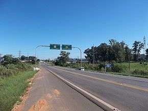 BR-392 in Santa Maria, RS | |
| Route information | |
| Length | 718.8 km[1] (446.6 mi) |
| Major junctions | |
| south end | Rio Grande, RS |
| north end | Porto Xavier, RS |
| Highway system | |
|
Highways in Brazil | |

BR-392 is a federal highway in Rio Grande do Sul.[2][3] The highway begins at the port town of Rio Grande in the south and runs north across the state, connecting the municipalities of Pelotas, Santa Maria, Santo Ângelo, and ending in Porto Xavier at the border with Argentina.[1]
References
- 1 2 "Rodovias Diagonais" (PDF). dnit.gov.br (in Portuguese). Departamento Nacional de Infraestrutura de Transportes (DNIT) — Sistema Nacional de Viação. Retrieved 29 February 2016.
- ↑ "Infra-estrutura de transportes" (map). ibge.gov.br (in Portuguese). Brazilian Institute of Geography and Statistics (IBGE). 2005. Retrieved 28 February 2016.
- ↑ "SNV 2015 Completo". dnit.gov.br (in Portuguese). Departamento Nacional de Infraestrutura de Transportes (DNIT) — Sistema Nacional de Viação. 2015-12-15. Archived from the original on 4 March 2016. Retrieved 28 February 2016.
| Rodovias radiais | |
|---|---|
| Rodovias longitudinais | |
| Rodovias transversais |
|
| Rodovias diagonais | |
| Rodovias de ligação |
|
This article is issued from
Wikipedia.
The text is licensed under Creative Commons - Attribution - Sharealike.
Additional terms may apply for the media files.