Aztec West
| Aztec West | |
|---|---|
|
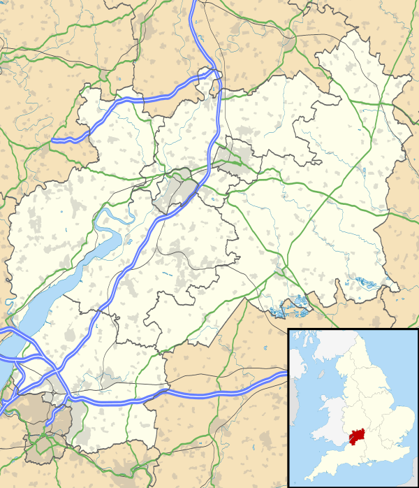
Major roads and bus stops near Aztec West | |
 Aztec West Aztec West shown within Gloucestershire | |
| OS grid reference | ST606828 |
| Unitary authority | |
| Ceremonial county | |
| Region | |
| Country | England |
| Sovereign state | United Kingdom |
| Post town | BRISTOL |
| Postcode district | BS32 |
| Dialling code | 01454 |
| Police | Avon and Somerset |
| Fire | Avon |
| Ambulance | South Western |
| EU Parliament | South West England |
| UK Parliament | |
Aztec West is a business park in South Gloucestershire, England, situated in the north of Bristol, near Bradley Stoke and Patchway. It is close to the M4 and M5 motorways and the Almondsbury Interchange. Adjacent is the A38 trunk road.
History
The park has been developed since the early 1980s, but some land is still available for future development.
The name is said to derive from 'A to Z of Technology'[1] and it was conceived as a science park — it was originally funded by the 'Electricity Supply Nominees' on the half of the Electricity Supply Industry (ESI) pension fund but in the mid-1980s was sold to Arlington Securities.[2]
Architecture
The buildings are in the high tech and postmodern styles and were designed by practices including Nicholas Grimshaw, Michael Aukett, SOM and CZWG.[3]
In 2018, selected buildings on Aztec West were listed by English Heritage.[4]
Companies

Aztec West is home to over 100 companies, and 7,000 people work there. The Aztec Centre was opened by Margaret Thatcher on Friday 15 December 1989 and there is a plaque to commemorate this in its entrance.[5] The park includes warehouse/factory units, the four star Aztec Hotel, several office villages, a central retail area and a Starbucks connected to a bar in a hotel, the first such facility in the UK.[6] Included in the landscaping are three lakes. Nearby are the aerospace industries at Filton and the large business parks at the edge of Bradley Stoke.
Companies include Nokia, General Electric, Liverpool Victoria, HSS Hire, EE, HSBC, Atkins, Aardman, Imagination Technologies, Broadcom, Mark Hadfield Selection Ltd, Allianz, Hoare Lea, The Co-operative Legal Services and CGI.
Transport
Aztec West is less than half a mile from the M5 Junction 16, and a mile from the Almondsbury Interchange with the M4. It is also in close proximity to the new housing project in Cribbs Causeway.
Public transport links are quite limited, although a number of bus services from the Bristol area do run on to Aztec West. The main services are the '3' series of routes operated by Wessex (3A, 3B, 3C, 3X), which run around the business park loop road (Park Avenue), providing direct connections at peak times between the business park and Bristol City Centre (3A / 3C / 3X), Bristol Parkway (3B), Redland (3C / 3X) and Clifton Village (3C). The routes to/from Bristol City Centre use either the A38 Gloucester Road or Filton Avenue corridors. Service 73, operated by First West of England, passes close by but does not enter the business park, providing frequent connections throughout the day from the A38 directly outside to Patchway, Cribbs Causeway Bus Station and Bradley Stoke, Bristol Parkway railway station, MoD Abbey Wood, Gloucester Road and Bristol City Centre. The 73 takes a more indirect route than other services to Bristol City Centre, however it runs much more frequently. Service X73 runs as an express route after Bristol Parkway railway station on the M32 to Bristol City Centre, although the timetable for this service is designed primarily for commuters travelling to Bristol City Centre.[7]
Other routes serving the business park entrance include: 78 /79 north to Thornbury and south to Bristol Bus Station (operated by First); 77 north to Thornbury and south to Bristol Parkway / UWE (operated by Severnside Transport); 483 to Yate and Chipping Sodbury (operated by Wessex).
The X18 (operated by First West of England) also ran around the business park loop and provided direct connections between Aztec West and MoD Abbey Wood, UWE, Emersons Green and Kingswood, following a route along the A4174 Avon Ring Road until the route was changed in July 2015.[8]
Commuter coach services, operated by The Kings Ferry, provide a number of peak period journeys to the business park from the North Somerset towns of Portishead, Clevedon and Weston-super-Mare. Stagecoach West also provides a peak-time commuter coach service, using the name "Belles Express", between Gloucester (City Centre & Quedgeley) and Aztec West.
The business park has no direct rail links. The nearest railway station is at Patchway about a mile and a half away. The mainline station, Bristol Parkway, is about three miles away. A direct bus service (3B), operated by Wessex, connects Bristol Parkway to Aztec West throughout the day. This bus service runs around the loop road (Park Avenue).
In 2001 Aztec West was selected as the northern terminus for the proposed Bristol Supertram project, which was planned to operate as a 30-minute service between the park and Bristol City Centre. The project was cancelled in 2004.
The planned MetroBus scheme is to serve Aztec West as part of the "North Fringe to Hengrove" route. [9]
Bristol Airport, south of Bristol, can be reached in about 40–45 minutes by car or bus.
References
- ↑ Brooke, Gerry (5 January 2009). "Week That Was — January 1980". Bristol Post. Retrieved 12 March 2015.
- ↑ "200 Aztec West" (PDF). CZWG. Retrieved 12 March 2015.
- ↑ Verey, David; Brooks, Alan (2002). Buildings of England: Gloucestershire, Volume 2. Yale University Press. pp. 162–164. ISBN 9780300097337.
- ↑ Historic England https://historicengland.org.uk/whats-new/news/Post-Modern-Buildings-Listed
- ↑ "Aztec West Business Park". Patchway Journal. Retrieved 14 November 2015.
- ↑ "Starbucks signs first hotel licensing deal". Caterersearch.com. Archived from the original on 20 July 2008. Retrieved 8 July 2008.
- ↑ "New bus service links Aztec West with Bristol Parkway Station". Bradley Stoke Journal. Retrieved 14 November 2015.
- ↑ "Bristol bus operator First announce a raft of changes to bus services in city". Bristol Post. Retrieved 19 October 2016.
- ↑ "MetroBus: Bus Rapid Transit (BRT)". Bristol City Council. Retrieved 19 October 2016.