Ayaorishinden Site
| 綾織新田遺跡 | |
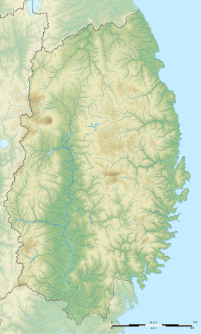 Ayaorishinden Site  Ayaorishinden Site (Japan) | |
| Location | Tōno, Iwate, Japan |
|---|---|
| Region | Tōhoku region |
| Coordinates | 39°19′01″N 141°17′56″E / 39.31694°N 141.29889°E |
| Altitude | 270 m (886 ft) |
| Type | settlement |
| History | |
| Founded | 4000 BC |
| Periods | early Jomon |
| Site notes | |
| Ownership | National Historic Site |
| Public access | Yes |
Ayaorishinden Site (綾織新田遺跡 Ayaorishinden iseki) is the remains of a large early Jōmon period settlement located in the city of Tōno, in Iwate Prefecture in the far northern Tōhoku region of Japan. It is protected by the central government as a National Historic Site.[1]
The site is located on a river terrace of on a branch of the Kitakami River in the Tōno Basin, at an altitude of approximately 270 meters. The settlement consisted of 17 large pit houses, wells, and roads,with the houses arranged around a central square. Each house had a width of 4 to 6 meters, and a length of 8 to 14 meters, and the presence of multiple hearths seem to indicate that these were used by multiple family groups. A cemetery pit in the south end of the settlement yielded earrings made of stone and bone.
The Tōno City Board of Education conducted exploratory surveys in 1997, and the site came under city protection in 2000. It was designated a National Historic Site in 2002.[2]
See also
References
External links
- Tono city home page (in Japanese)
- Cultural Heritage Online (in Japanese)