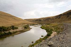
Murat River
| Murat River | |
|---|---|
 Murat River | |
| Other name(s) | Eastern Euphrates |
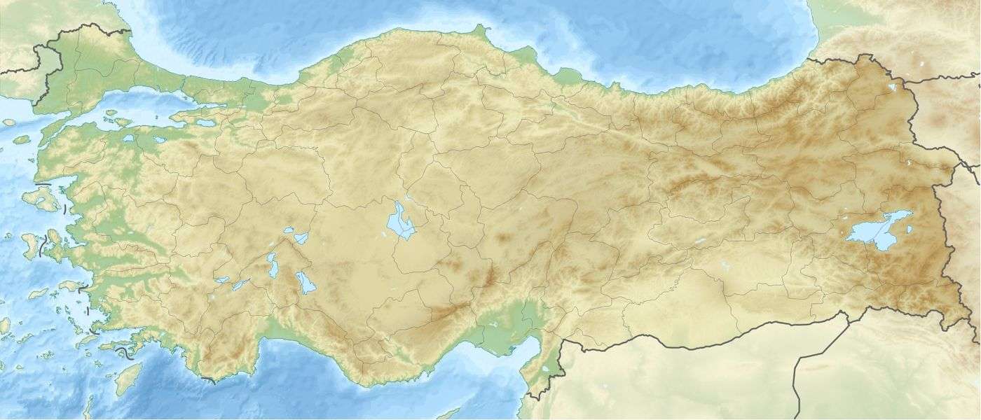
| Country | Turkey |
| Region | Eastern Anatolia Region |
| Physical characteristics | |
| Main source |
near Mount Ararat north of Lake Van 2,720 m (8,920 ft) |
| River mouth |
Karasu near Keban, Elazığ Province 820 m (2,690 ft) |
| Length | 722 km (449 mi) |
| Basin features | |
| River system | Euphrates |
The Murat River, also called Eastern Euphrates (Turkish: Murat Nehri, Armenian: Արածանի Aratsani), is a major source of the Euphrates River. The Ancient Greeks and Romans used to call the river Arsanias (Greek: Ἀρσανίας). It originates near Mount Ararat north of Lake Van, in Eastern Turkey, and flows westward for 722 km (449 mi) through mountainous area. Before the construction of the Keban Dam, the Murat River joined the Karasu River or Western Euphrates 10 km (6.2 mi) north of the dam site and 13 km (8.1 mi) north of the town of Keban.[1]
In Muş Province, the river is interrupted by the Alpaslan-1 Dam, which was completed in 2009. The Alpaslan-2 Dam is expected to be completed in 2016 and is located downstream of Alpaslan-1. The river merges into the reservoir of the Keban Dam, at one time Turkey's largest dam, which was completed in 1974 and provides electrical power.[2]
In Bingöl and Elazığ provinces, Kalehan Energy has four dams planned for the river: from upstream to downstream, the Upper Kaleköy Dam, Lower Kaleköy Dam, Beyhan I Dam, and Beyhan II Dam. The Beyhan I is completed while the Upper Kaleköy is expected to be completed by 2017. They will have a combined installed capacity of 1,855 MW.[3]
Origin of the river name
The present name is usually connected with the Turkish Murat or its appellative murat "purpose, intention, desire". But this may be folk etymology, so Hrach Martirosyan tentatively proposes derivation from Old Armenian mōrat, murat “mud, marsh”.[4]
The river was called Arșania in sources of the Neo-Assyrian Empire, and Arsanias in Classical Greek and Roman times. Those forms may be derived from an Armenian original (Արածանի Aratsani), itself from an Indo-European root for 'white, bright'.[5][6]
Footnotes
- ↑ "Soccer On Frozen River". Turkish Daily News. 2004-12-31.
- ↑ "Marat River". Encyclopædia Britannica. Retrieved 2008-02-16.
- ↑ "Murat Hydropower Cascade" (PDF). Poyry. Retrieved 3 March 2016.
- ↑ Hrach Martirosyan, Armenian mawr ‘mud, marsh’ and its hydronimical value, Aramazd: Armenian journal of Near Eastern studies, vol. 4.1, pp. 73–85 and 179–180 (Summary in Armenian) (2009)
- ↑ Journal of the Society for Armenian Studies. The Society. 2005. p. 33.
- ↑ Mario Liverani (1995). Neo-Assyrian geography. Università di Roma, Dipartimento di scienze storiche, archeologiche e antropologiche dell'Antichità. p. 57.
Coordinates: 39°24′N 43°45′E / 39.400°N 43.750°E
| Wikimedia Commons has media related to Murat River. |