Chae Hom District
| Chae Hom แจ้ห่ม | |
|---|---|
| Amphoe | |
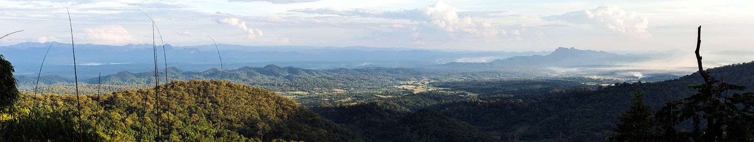
 Amphoe location in Lampang Province | |
| Coordinates: 18°42′46″N 99°33′27″E / 18.71278°N 99.55750°ECoordinates: 18°42′46″N 99°33′27″E / 18.71278°N 99.55750°E | |
| Country |
|
| Province | Lampang |
| Seat | Wichet Nakhon |
| Area | |
| • Total | 1,349.121 km2 (520.899 sq mi) |
| Population (2005) | |
| • Total | 42,457 |
| • Density | 31.2/km2 (81/sq mi) |
| Time zone | UTC+7 (THA) |
| Postal code | 52120 |
| Geocode | 5206 |
Chae Hom (Thai: แจ้ห่ม, pronounced [t͡ɕɛ̂ː hòm]) is a district (amphoe) of Lampang Province, northern Thailand.
Geography
Neighboring districts are (from the north clockwise): Wang Nuea, Ngao, Mae Mo, Mueang Lampang and Mueang Pan of Lampang Province.
Administration
The district is subdivided into 7 subdistricts (tambon), which are further subdivided into 58 villages (muban). Chae Hom is a township (thesaban tambon) which covers parts of tambon Chae Hom. There are further 7 Tambon administrative organizations (TAO).
| No. | Name | Thai name | Villages | Inh. | |
|---|---|---|---|---|---|
| 1. | Chae Hom | แจ้ห่ม | 10 | 8,903 | |
| 2. | Ban Sa | บ้านสา | 7 | 5,299 | |
| 3. | Pong Don | ปงดอน | 8 | 5,188 | |
| 4. | Mae Suk | แม่สุก | 11 | 7,400 | |
| 5. | Mueang Mai | เมืองมาย | 5 | 3,332 | |
| 6. | Thung Phueng | ทุ่งผึ้ง | 6 | 4,121 | |
| 7. | Wichet Nakhon | วิเชตนคร | 11 | 8,214 |
External links
- amphoe.com (Thai)
This article is issued from
Wikipedia.
The text is licensed under Creative Commons - Attribution - Sharealike.
Additional terms may apply for the media files.