Ampasinambo
| Ampasinambo | |
|---|---|
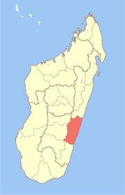
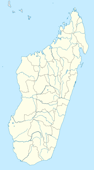 Ampasinambo Location in Madagascar | |
| Coordinates: 20°31′S 48°0′E / 20.517°S 48.000°E | |
| Country |
|
| Region | Vatovavy-Fitovinany |
| District | Nosy Varika |
| Elevation[1] | 528 m (1,732 ft) |
| Population (2001)[2] | |
| • Total | 25,000 |
| Time zone | UTC3 (EAT) |
Ampasinambo is a town and commune in Madagascar. It belongs to the district of Nosy Varika, which is a part of Vatovavy-Fitovinany Region. The population of the commune was estimated to be approximately 25,000 in 2001 commune census.[2]
Primary and junior level secondary education are available in town. The majority 99% of the population of the commune are farmers. The most important crop is rice, while other important products are coffee, sugarcane and beans. Services provide employment for 1% of the population.[2]
An airstrip constructed through Mission Aviation Fellowship opened in July 2009.[3]
The highest waterfall of Madagascar, the Sakaleona Falls, is situated at a distance of 18 km from this city.
References and notes
- ↑ Estimated based on DEM data from Shuttle Radar Topography Mission
- 1 2 3 "ILO census data". Cornell University. 2002. Retrieved 2008-05-03.
- ↑ Creating something of lasting value, MAF News (December 2009-February 2010).
Coordinates: 20°31′S 48°0′E / 20.517°S 48.000°E