Al-Baha Domestic Airport
| Al-Baha Domestic Airport مطار الباحة المحلي | |||||||||||
|---|---|---|---|---|---|---|---|---|---|---|---|
| Summary | |||||||||||
| Airport type | Public | ||||||||||
| Operator | Government | ||||||||||
| Serves | Al-Baha (Al Bahah) | ||||||||||
| Location | Al Bahah Province, Saudi Arabia | ||||||||||
| Elevation AMSL | 5,486 ft / 1,672 m | ||||||||||
| Coordinates | 20°17′46″N 041°38′03″E / 20.29611°N 41.63417°ECoordinates: 20°17′46″N 041°38′03″E / 20.29611°N 41.63417°E | ||||||||||
| Map | |||||||||||
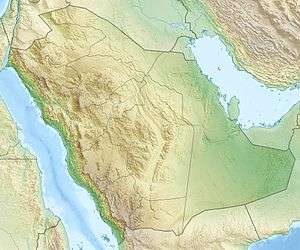 OEBA Location of airport in Saudi Arabia | |||||||||||
| Runways | |||||||||||
| |||||||||||
Al-Baha Domestic Airport (Arabic: مطار الباحة المحلي, IATA: ABT[3], ICAO: OEBA) is an airport serving Al-Baha (also spelled Al Bahah), the capital of Al Bahah Province in Saudi Arabia. The airport was launched on 1 June 1983.[4]
Facilities
The airport resides at an elevation of 5,486 feet (1,672 m) above mean sea level. It has one runway designated 07/25 with an asphalt surface measuring 3,350 by 45 metres (10,991 ft × 148 ft).[1]
Airlines and destinations
| Airlines | Destinations |
|---|---|
| Flynas | Abha,[5] Dammam,[5] Riyadh |
| Saudia | Dammam, Jeddah, Riyadh |
References
- 1 2 Airport information for OEBA from DAFIF (effective October 2006)
- ↑ Airport information for ABT at Great Circle Mapper. Source: DAFIF (effective October 2006).
- ↑ "IATA Airport Code Search (ABT – City: Al Baha, Airport: Al-Aqiq)". International Air Transport Association. Retrieved 7 September 2013.
- ↑ "Al-Baha, Saudi Arabia: Al Baha BBH Airport". Airport Codes. Archived from the original on 22 September 2013. Retrieved 22 September 2013.
- 1 2 http://www.flynas.com/en/booking-flynas/flight-schedule
External links
- Aeronautical chart for OEBA at SkyVector
- Current weather for OEBA at NOAA/NWS
- Accident history for ABT at Aviation Safety Network
This article is issued from
Wikipedia.
The text is licensed under Creative Commons - Attribution - Sharealike.
Additional terms may apply for the media files.