Akwanga
| Akwanga Kpange Mada Kasa | |
|---|---|
| LGA and town | |
| Nickname(s): AK | |
| Motto(s): Mada Sei Gir | |
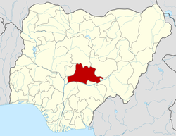
 Akwanga Location in Nigeria | |
| Coordinates: 8°55′0″N 8°23′0″E / 8.91667°N 8.38333°ECoordinates: 8°55′0″N 8°23′0″E / 8.91667°N 8.38333°E | |
| Country |
|
| State | Nasarawa State |
| Headquarters | Akwanga Town |
| Time zone | UTC+1 (WAT) |
Akwanga is a Local Government Area in Nasarawa State, Nigeria. Its headquarters are in the town of Akwanga.
It has an area of 996 km² and a population of 513,930 at the 2006 census. The postal code of the area is 960.[1]
Education
It is the town of the only State college of education in Nasarawa state. Akwanga is a center of Education in Nasarawa State. apart from the State college of Education, there other tertiary institutions, like Hill College of education Gwanje, NACABS Polytechnic, School of Health Alushi. Akwanga has the highest number of schools in nasarawa state.
References
- ↑ "Post Offices- with map of LGA". NIPOST. Archived from the original on 7 October 2009. Retrieved 2009-10-20.
This article is issued from
Wikipedia.
The text is licensed under Creative Commons - Attribution - Sharealike.
Additional terms may apply for the media files.