Aduadu
| Mount Aduadu | |
|---|---|
 Mount Aduadu as seen from Mount Afadja | |
| Highest point | |
| Listing | Country high point |
| Coordinates | 7°01′08″N 0°34′16″E / 7.01889°N 0.57111°ECoordinates: 7°01′08″N 0°34′16″E / 7.01889°N 0.57111°E |
| Geography | |
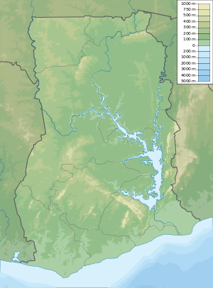 Mount Aduadu Location of Mount Afadja in Ghana | |
| Location | Ghana |
| Parent range | Agumatsa Range |
Mount Aduadu is the highest mountain in Ghana. The mountain is located in the Agumatsa Range near the villages of Gblede, Liati Wote and Wli, in the Volta Region of Ghana at the border with Togo. The peak is a short walk from Mount Afadja, being situated about one kilometre to the West.[1]

View from Aduadu showing the peak of Afadja
According to Lonely Planet[2] and Ghana-Net,[3] it is not considered the highest mountain because the difference in elevation between its base and its peak is too small. This interpretation could be considered a little unusual given its obvious prominence over Mount Afadja. It has also been claimed that it is in fact in Togo which would appear incorrect given its location at 7°01'08"N 0°34'16"E.
References
- ↑ "Topographical map of area".
- ↑ Ham, Anthony. West Africa. Lonely Planet. p. 368. ISBN 9781741048216. Retrieved 23 April 2016.
- ↑ "Ghana-Net.com article on Mount Afadjato". Retrieved 20 April 2017.
This article is issued from
Wikipedia.
The text is licensed under Creative Commons - Attribution - Sharealike.
Additional terms may apply for the media files.