Abrams Municipal Airport
| Abrams Municipal Airport | |||||||||||||||
|---|---|---|---|---|---|---|---|---|---|---|---|---|---|---|---|
| Summary | |||||||||||||||
| Airport type | Public | ||||||||||||||
| Owner | City of Grand Ledge | ||||||||||||||
| Serves | Grand Ledge, Michigan | ||||||||||||||
| Elevation AMSL | 842 ft / 257 m | ||||||||||||||
| Coordinates | 42°46′27″N 084°43′59″W / 42.77417°N 84.73306°W | ||||||||||||||
| Map | |||||||||||||||
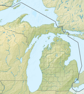 4DO Location of airport in Michigan  4DO 4DO (the US) | |||||||||||||||
| Runways | |||||||||||||||
| |||||||||||||||
| Statistics (2007) | |||||||||||||||
| |||||||||||||||
Abrams Municipal Airport (FAA LID: 4D0) is a city-owned, public-use airport located two nautical miles (3.7 km) north of the central business district of Grand Ledge, a city in Eaton County, Michigan, United States.[1] It is included in the Federal Aviation Administration (FAA) National Plan of Integrated Airport Systems for 2017–2021, in which it is categorized as a local general aviation facility.[2]
The airport is accessible by road from Eaton Highway, and is located 2.1 miles (3.4 km) south of Interstate 96, just east of M-100.
Facilities and aircraft
Abrams Municipal Airport covers an area of 160 acres (65 ha) at an elevation of 842 feet (257 m) above mean sea level. It has two runways: 9/27 is 3,200 by 75 feet (975 x 23 m) with an asphalt surface; 18/36 is 2,580 by 120 feet (786 x 37 m) with a turf surface. Runway 18/36 is closed to fixed-wing aircraft from November through April. The airport is staffed daily from 8AM until dusk.[1]
For the 12-month period ending December 31, 2007, the airport had 12,300 aircraft operations, an average of 33 per day: 81% general aviation and 19% military. At that time there were 45 aircraft based at this airport: 49% single-engine, 9% multi-engine and 42% military.[1]
Remarks:[1]
- Activate MIRL runway 09/27 and REIL runway 27 - CTAF.
- Intensive National Guard helicopter training on & in the vicinity of airport.
- Runway 18/36 closed to fixed-wing aircraft November–April, soft in spring.
- Avoid overflight of Grand Ledge below 2,000 ft (610 m).
- This airport has been surveyed by the National Geodetic Survey.
- TPA for helicopters 1,700 ft (520 m) MSL (858 ft AGL); fixed wing TPA 1,900 ft (580 m) MSL.
References
- 1 2 3 4 5 FAA Airport Master Record for 4D0 (Form 5010 PDF), effective 2009-08-27.
- ↑ "List of NPIAS Airports" (PDF). FAA.gov. Federal Aviation Administration. 21 October 2016. Retrieved 25 November 2016.
External links
- "Abrams Municipal Airport" (PDF). (45.3 KiB) at Michigan Airport Directory
- Grand Air Aviation, the fixed-base operator (FBO)
- Aerial photo as of 23 April 1998 from USGS The National Map
- FAA Terminal Procedures for 4D0, effective October 11, 2018
- Resources for this airport:
- FAA airport information for 4D0
- AirNav airport information for 4D0
- FlightAware airport information and live flight tracker
- SkyVector aeronautical chart for 4D0