Abakan Range
| Abakan Range | |
|---|---|
| Абаканский хребет | |
 The Altai Mountains, of which the Abakan is the northern extension | |
| Highest point | |
| Elevation | 1,984 m (6,509 ft) |
| Dimensions | |
| Length | 300 km (190 mi) |
| Geography | |
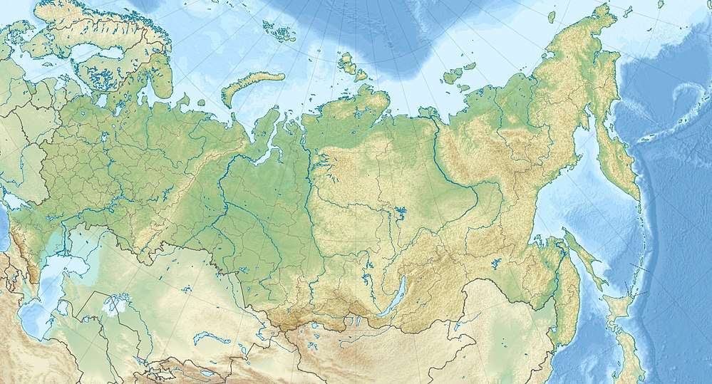 | |
| Country | Russia |
| Region | Siberia |
| Range coordinates | 53°40′N 89°16′E / 53.667°N 89.267°ECoordinates: 53°40′N 89°16′E / 53.667°N 89.267°E |
| Parent range | Altai Mountains |
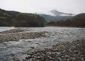
Abakan Range (Russian: Абаканский хребет) is a metamorphic rock mountain range in the Southwestern Siberia, Russia: length: 300 km (190 mi), elevation: up to 1,984 m (6,509 ft). It is mostly covered by taiga, up to 1,500 m (4,900 ft), followed by mountainous tundra. The range also consists sparse areas of granite, gabbro, and diorite.[1]
The range is the southern border of the Kuznetsk Depression that contains the Kuznetsk Basin of Kemerovo Oblast. The range is part of the water divide between Abakan River, Tom River, and Lebed River. It is a Northern extension of Altai Mountains and Southern extension of Kuznetsk Alatau. See Geography of South-Central Siberia.
| Wikisource has the text of the 1921 Collier's Encyclopedia article Abakansk. |
Vegetation
The Abakan Range has forests of dark coniferous taiga, which include silver fir, spruce, and cedar, growing on its slopes up to an elevation of 1,700 m (5,577 ft). Higher than that, the mountains are covered in tundra.[1]

References
- 1 2 "Abakan Range". Farlex, Inc. Retrieved 5 February 2013.