2017 Lesbos earthquake

M 6.3 - 5km S of Plomarion, Greece - intensity
 | |
| UTC time | 2017-06-12 12:28:39 |
|---|---|
| ISC event | 610670971 |
| USGS-ANSS | ComCat |
| Local date | 12 June 2017 |
| Local time | 15:28 (EEST) (UTC+03.00) |
| Magnitude | 6.3 Mw |
| Depth | 12.0 km (7.5 mi) |
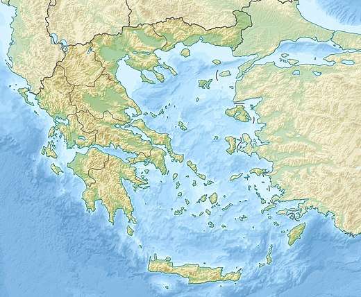
| Epicenter | 38°55′48″N 26°21′54″E / 38.930°N 26.365°ECoordinates: 38°55′48″N 26°21′54″E / 38.930°N 26.365°E |
| Areas affected | Lesbos, Greece |
| Max. intensity | IX (Violent) |
| Casualties | 1 killed, 10+ injured |
The 2017 Lesbos earthquake occurred at 12:28:39 UTC on 12 June. The earthquake's epicentre was 5 km south of Plomari on the Greek island of Lesbos off the Aegean coast of Turkey. It had a magnitude of 6.3 on the moment magnitude scale and a maximum perceived intensity of IX (Violent) on the Mercalli intensity scale.[1] Extensive damage was caused on parts of southern Lesbos, where there was one fatality and 10 people were injured. The earthquake was also felt in Turkey but no significant damage or injuries were reported.[2]
Scientific Data on the 2017 Lesbos earthquake, collected by the Faculty of Geology and Geoenvironment of National and Kapodistrian University of Athens are published on-line in an integrated Story Map [3]
References
External links
- The International Seismological Centre has a bibliography and/or authoritative data for this event.
This article is issued from
Wikipedia.
The text is licensed under Creative Commons - Attribution - Sharealike.
Additional terms may apply for the media files.