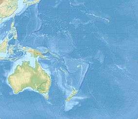
1977 Tonga earthquake
 | |
| UTC time | 1977-06-22 12:08:33 |
|---|---|
| ISC event | 697569 |
| USGS-ANSS | ComCat |
| Local date | 23 June 1977 |
| Local time | 01:08:33 |
| Magnitude | 8.0 Mw [1] |
| Depth | 55 km (34 mi) [1] |
| Epicenter | 22°53′S 175°43′W / 22.89°S 175.71°WCoordinates: 22°53′S 175°43′W / 22.89°S 175.71°W [1] |
| Type | Normal [2] |
| Max. intensity | VIII (Severe) [3] |
| Casualties | yes |
The 1977 Tonga earthquake took place on 22 June at 12:08:33 UTC some 200 km southwest of Tongatapu, which shocks infecting all islands of the kingdom of Tonga. The earthquake measured 8.0 on the moment magnitude scale and had a maximum intensity of VIII (Severe) on the Mercalli intensity scale.
The earthquake caused considerable damage to the infrastructures and some fatalities in most Tongan islands,[3] with the most damage in Tongatapu and ʻEua and the least damage in Ha'apai and Vava'u.[4]
See also
References
- 1 2 3 ISC (2017), ISC-GEM Global Instrumental Earthquake Catalogue (1900–2013), Version 4.0, International Seismological Centre
- ↑ USGS (September 4, 2009), PAGER-CAT Earthquake Catalog, Version 2008_06.1, United States Geological Survey
- 1 2 "Earthquakes in Tonga". iisee.kenken.go.jp. Retrieved 10 September 2017.
- ↑ M. D. Campbell; G. R. McKay; R. L. Williams (1977). "The Tonga earthquake of 23 June, 1977 – some initial observations" (PDF). Bulletin of the New Zealand National Society for Earthquake Engineering. 10 (4): 208–218.
External links
- The International Seismological Centre has a bibliography and/or authoritative data for this event.
This article is issued from
Wikipedia.
The text is licensed under Creative Commons - Attribution - Sharealike.
Additional terms may apply for the media files.