1956 Sagaing earthquake
 | |
| UTC time | 1956-07-16 15:07:12 |
|---|---|
| ISC event | 888485 |
| USGS-ANSS | ComCat |
| Local date | July 16, 1956 |
| Local time | 21:37:12 |
| Magnitude | Mw 7.1 [1] |
| Depth | 25 km (16 mi) [1] |
| Epicenter | 22°05′N 95°49′E / 22.08°N 95.82°ECoordinates: 22°05′N 95°49′E / 22.08°N 95.82°E [1] |
| Casualties | 38 deaths |
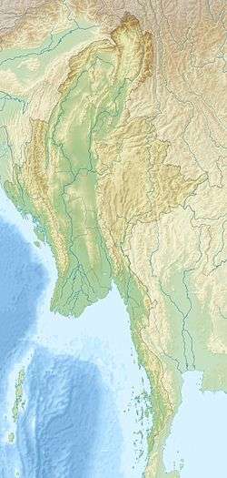
The 1956 Sagaing earthquake occurred on July 16, 1956, at 15:07 UTC. The earthquake was located near Sagaing, Burma.[2] This earthquake had a magnitude of Mw 7.1.[1]
Thirty-eight people died because of the earthquake.[3] Several pagodas, including the Mingun Pagoda, were severely damaged.[4] The earthquake was close to the Shan-Sagaing Fault.[5] However, the focal mechanism remains undetermined.[6] The intensity reached MM VIII to MM IX near the epicenter.[2]
See also
References
- 1 2 3 4 Engdahl, E. R.; Vallaseñor, A. (2002). "Global seismicity: 1900–1999". International Handbook of Earthquake & Engineering Seismology (PDF). Part A, Volume 81A (First ed.). Academic Press. p. 680. ISBN 978-0124406520.
- 1 2 Cho, A.; Htu, U. (1993). Major important factors in Myanmar : Construction, insurance, community preparedness and prediction (PDF). World Seismic Safety Initiative (WSSI). International Center for Disaster-Mitigation Engineering (INCEDE). 8–11 feb. 1993. Bangkok. TH. Document 6970.
- ↑ National Geophysical Data Center / World Data Service (NGDC/WDS), Significant Earthquake Database, National Geophysical Data Center, NOAA, doi:10.7289/V5TD9V7K
- ↑ http://www.mm.undp.org/UNDP_Publication_PDF/DRR%20manuals/Manual%20on%20Earthquake%20(English).pdf
- ↑ http://www.geosocindia.org/abstracts/2012/sept/p393-402.pdf
- ↑ "Archived copy" (PDF). Archived from the original (PDF) on 2013-01-19. Retrieved 2013-05-07.
External links
- The International Seismological Centre has a bibliography and/or authoritative data for this event.
This article is issued from
Wikipedia.
The text is licensed under Creative Commons - Attribution - Sharealike.
Additional terms may apply for the media files.