Szumowo (gemeente)
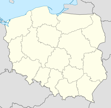
De gemeente Szumowo is een landgemeente in het Poolse woiwodschap Podlachië, in powiat Zambrowski.
| Gemeente in Polen | |||
 | |||
| Situering | |||
| Woiwodschap | Podlachië | ||
| Powiat | Powiat Zambrowski | ||
| Coördinaten | 52° 55′ NB, 22° 5′ OL | ||
| Gegevens | |||
| Oppervlakte | 141,15 km² | ||
| Inwoners (2004) | 4876 (34,5 inw./km²) | ||
| Gemeente type | wiejska | ||
| Sołectwo | 19 | ||
| Politiek | |||
| Gemeentezetel | 18-305 Szumowo ul. 1-go Maja 50 | ||
| wójt | Zdzisław Lutostański | ||
| Overig | |||
| Netnummer(s) | 86 | ||
| Kentekenplaat | BZA | ||
| Gemeentecode | 2014042 | ||
| Website | Link | ||
| |||
De zetel van de gemeente is in Szumowo.
Op 30 juni 2004 telde de gemeente 4876 inwoners.
Oppervlakte gegevens
In 2002 bedroeg de totale oppervlakte van gemeente Szumowo 141,15 km², waarvan:
De gemeente beslaat 19,25% van de totale oppervlakte van de powiat.
Demografie
| Omschrijving | Totaal | Vrouwen | Mannen | |||
|---|---|---|---|---|---|---|
| eenheid | aantal | % | aantal | % | aantal | % |
| inwoners | 4876 | 100 | 2402 | 49,3 | 2474 | 50,7 |
| bevolkingsdichtheid (inw./km²) | 34,5 | 17 | 17,5 | |||
In 2002 bedroeg het gemiddelde inkomen per inwoner 1476,01 zł.
Administratieve plaatsen (sołectwo)
Głębocz Wielki, Kaczynek, Kalinowo, Krajewo-Budziły, Łętownica, Ostrożne, Paproć Duża, Paproć Mała, Pęchratka Polska, Radwany-Zaorze, Rynołty, Srebrna, Srebrny Borek, Stryjki, Szumowo, Wyszomierz Wielki, Zaręby-Jartuzy, Żabikowo Prywatne, Żabikowo Rządowe.
Overige plaatsen
Jarzębie, Mroczki-Stylongi, Nowe Szumowo, Pęchratka-Parcele, Podbiel Duża, Wyszomierz-Kolonia.
Aangrenzende gemeenten
Andrzejewo, Ostrów Mazowiecka, Stary Lubotyń, Śniadowo, Zambrów