Szamotuły (gemeente)
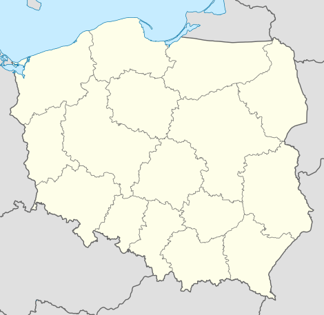
De gemeente Szamotuły is een stad- en landgemeente in het Poolse woiwodschap Groot-Polen, in powiat Szamotulski.
| Gemeente in Polen | |||
| |||
 | |||
| Situering | |||
| Woiwodschap | Groot-Polen | ||
| Powiat | Powiat Szamotulski | ||
| Coördinaten | 52° 36′ NB, 16° 35′ OL | ||
| Gegevens | |||
| Oppervlakte | 175,07 km² | ||
| Inwoners (2005) | 28 553 (163,1 inw./km²) | ||
| Gemeente type | miejsko-wiejska | ||
| Sołectwo | 24 | ||
| Politiek | |||
| Gemeentezetel | 64-500 Szamotuły ul. Dworcowa 26 | ||
| burmistrz | Jacek Grabowski | ||
| Overig | |||
| Netnummer(s) | 61 | ||
| Kentekenplaat | PSZ | ||
| Gemeentecode | 3024073 | ||
| Website | Link | ||
| |||
De zetel van de gemeente is in Szamotuły.
Op 31 december 2005 telde de gemeente 28 553 inwoners.
Oppervlakte gegevens
In 2002 bedroeg de totale oppervlakte van gemeente Szamotuły 175,07 km², waarvan:
De gemeente beslaat 15,64% van de totale oppervlakte van de powiat.
Demografie
Stand op 31 december 2005:
| Omschrijving | Totaal | Vrouwen | Mannen | |||
|---|---|---|---|---|---|---|
| eenheid | aantal | % | aantal | % | aantal | % |
| inwoners | 28 553 | 100 | 14 837 | 52,0 | 13 716 | 48,0 |
| bevolkingsdichtheid (inw./km²) | 163,1 | 84,7 | 78,3 | |||
In 2002 bedroeg het gemiddelde inkomen per inwoner 1398,63 zł.
Administratieve plaatsen (sołectwo)
Baborowo, Baborówko, Brodziszewo, Emilianowo, Gałowo, Gąsawy, Jastrowo, Kąsinowo, Kępa, Koźle, Krzeszkowice, Lipnica, Lulinek, Mątowo, Myszkowo, Otorowo, Pamiątkowo, Piaskowo, Piotrkówko, Przecław, Przyborowo, Szczuczyn, Śmiłowo, Witoldzin.
Zonder de status sołectwo : Bociany, Czyściec, Gałowo-Majątek, Grabowiec, Jastrowo-Majątek, Kamionka, Kąsinowo, Lipnickie Huby, Ludwikowo, Mielno, Nowy Folwark, Ostrolesie, Poświętne, Przecławek, Przyborówko, Rudnik, Świdwin, Twardowo, Wincentowo, Żalewo.
