Shire of West Arthur
Shire of West Arthur is een Local Government Area (LGA) in de regio Wheatbelt in West-Australië. Shire of West Arthur telde 809 inwoners in 2016. De hoofdplaats is Darkan.
| Local Government Area van Australië | |||
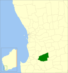 Locatie van Shire of West Arthur in West-Australië | |||
| Situering | |||
| Staat | West-Australië | ||
| Hoofdplaats | Darkan | ||
| Coördinaten | 33°20'17"ZB, 116°44'35"OL | ||
| Algemene informatie | |||
| Oppervlakte | 2.834,2 km² | ||
| Inwoners | 809 (2016)[1] | ||
| Overig | |||
| Wards | 4 | ||
| Website | (en) Shire of West Arthur | ||
| |||
Geschiedenis
Op 10 januari 1896 werd het West Arthur Road District opgericht. Ten gevolge van de Local Government Act van 1960 veranderde het district op 23 juni 1961 van naam en werd de Shire of West Arthur.[2]
Beschrijving
Shire of West Arthur is een landbouwdistrict in de regio Wheatbelt. Het is 2.834 km² groot en ligt ongeveer 200 kilometer ten zuidoosten van de West-Australische hoofdstad Perth. Het administratieve en dienstencentrum van het district is Darkan.
Plaatsen, dorpen en lokaliteiten
- Darkan
- Arthur River
- Bokal
- Boolading
- Bowelling
- Cordering
- Duranillin
- Moodiarrup
- Trigwell
Bevolkingsaantal
| Jaar | Bevolkingsaantal |
|---|---|
| 1911 | 674 |
| 1921 | 624 |
| 1933 | 1.047 |
| 1947 | 876 |
| 1954 | 1.295 |
| 1961 | 1.398 |
| 1966 | 1.427 |
| 1971 | 1.303 |
| 1976 | 1.293 |
| 1981 | 1.288 |
| 1986 | 1.118 |
| 1991 | 973 |
| 1996 | 985 |
| 2001 | 863 |
| 2006 | 858 |
| 2011 | 868 |
| 2016 | 809 |
Bronnen, noten en/of referenties
|
Geplaatst op: 03-09-2008 |
Dit artikel is een beginnetje over landen & volken. U wordt uitgenodigd om op bewerken te klikken om uw kennis aan dit artikel toe te voegen. |
This article is issued from
Wikipedia.
The text is licensed under Creative
Commons - Attribution - Sharealike.
Additional terms may apply for the media files.