Shire of Dumbleyung
Shire of Dumbleyung is een Local Government Area (LGA) in de regio Wheatbelt in West-Australië. Shire of Dumbleyung telde 671 inwoners in 2016. De hoofdplaats is Dumbleyung.
| Local Government Area van Australië | |||
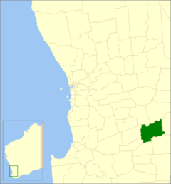 Locatie van Shire of Dumbleyung in West-Australië | |||
| Situering | |||
| Staat | West-Australië | ||
| Hoofdplaats | Dumbleyung | ||
| Coördinaten | 33°18'54"ZB, 117°44'17"OL | ||
| Algemene informatie | |||
| Oppervlakte | 2.540,1 km² | ||
| Inwoners | 671 (2016)[1] | ||
| Overig | |||
| Wards | 4 | ||
| Website | (en) Shire of Dumbleyung | ||
| |||
Geschiedenis
Het Dumbleyung Road District werd op 1 oktober 1901 opgericht. Ten gevolge van de Local Government Act van 1960 veranderde het district op 23 juni 1961 van naam en werd de Shire of Dumbleyung.[2]
Beschrijving
Shire of Dumbleyung is een landbouwdistrict in de regio Wheatbelt in West-Australië. Het is ongeveer 2.500 km² groot en telde 671 inwoners in 2016.
Plaatsen, dorpen en lokaliteiten
- Dumbleyung
- Dongolocking
- Kukerin
- Merilup
- Moulyinning
- Nippering
- Tarin Rock
Bevolkingsaantal
| Jaar | Bevolkingsaantal |
|---|---|
| 1911 | 929 |
| 1921 | 1.689 |
| 1933 | 1.610 |
| 1947 | 1.246 |
| 1954 | 1.493 |
| 1961 | 1.444 |
| 1966 | 1.458 |
| 1971 | 1.221 |
| 1976 | 1.038 |
| 1981 | 1.009 |
| 1986 | 1.021 |
| 1991 | 856 |
| 1996 | 834 |
| 2001 | 701 |
| 2006 | 632 |
| 2016 | 671 |
Bronnen, noten en/of referenties
|
Geplaatst op: 03-09-2008 |
Dit artikel is een beginnetje over landen & volken. U wordt uitgenodigd om op bewerken te klikken om uw kennis aan dit artikel toe te voegen. |
This article is issued from
Wikipedia.
The text is licensed under Creative
Commons - Attribution - Sharealike.
Additional terms may apply for the media files.