Pokrzywnica (gemeente)
De gemeente Pokrzywnica is een landgemeente in het Poolse woiwodschap Mazovië, in powiat Pułtuski.
| Gemeente in Polen | |||
 | |||
| Situering | |||
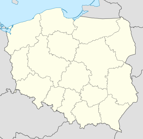
| Woiwodschap | Mazovië | ||
| Powiat | Powiat Pułtuski | ||
| Coördinaten | 52° 37′ NB, 21° 1′ OL | ||
| Gegevens | |||
| Oppervlakte | 120,99 km² | ||
| Inwoners (2004) | 4734 (39,1 inw./km²) | ||
| Gemeente type | wiejska | ||
| Sołectwo | 33 | ||
| Politiek | |||
| Gemeentezetel | 06-121 Pokrzywnica al. Jana Pawła II 1 | ||
| wójt | Adam Dariusz Rachuba | ||
| Overig | |||
| Netnummer(s) | 23 | ||
| Kentekenplaat | WPU | ||
| Gemeentecode | 1424032 | ||
| Website | Link | ||
| |||
De zetel van de gemeente is in Pokrzywnica.
Op 30 juni 2004 telde de gemeente 4734 inwoners.
Oppervlakte gegevens
In 2002 bedroeg de totale oppervlakte van gemeente Pokrzywnica 120,99 km², waarvan:
De gemeente beslaat 14,6% van de totale oppervlakte van de powiat.
Demografie
| Omschrijving | Totaal | Vrouwen | Mannen | |||
|---|---|---|---|---|---|---|
| eenheid | aantal | % | aantal | % | aantal | % |
| inwoners | 4734 | 100 | 2336 | 49,3 | 2398 | 50,7 |
| bevolkingsdichtheid (inw./km²) | 39,1 | 19,3 | 19,8 | |||
In 2002 bedroeg het gemiddelde inkomen per inwoner 1241,78 zł.
Administratieve plaatsen (sołectwo)
Budy Obrębskie, Budy Ciepielińskie, Budy Pobyłkowskie, Ciepielin, Dzbanice, Dzierżenin, Gzowo, Karniewek, Kępiaste, Klaski, Koziegłowy, Łępice, Łosewo, Łubienica, Łubienica-Superunki, Mory, Murowanka, Nowe Niestępowo (z wsią Niestępowo Włościańskie tworzy sołectwo Niestępowo), Obręb, Obrębek, Olbrachcice, Piskornia, Pobyłkowo Duże, Pobyłkowo Małe, Pogorzelec, Pokrzywnica, Pomocnia, Strzyże, Świeszewo, Trzepowo, Witki, Wólka Zaleska, Zaborze.