Pawłów (gemeente)
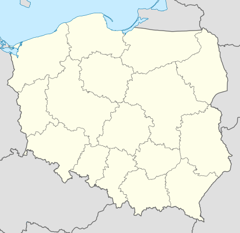
De gemeente Pawłów is een landgemeente in het Poolse woiwodschap Święty Krzyż, in powiat Starachowicki.
| Gemeente in Polen | |||
| |||
 | |||
| Situering | |||
| Woiwodschap | Święty Krzyż | ||
| Powiat | Powiat Starachowicki | ||
| Coördinaten | 50° 58′ NB, 21° 7′ OL | ||
| Gegevens | |||
| Oppervlakte | 137,39 km² | ||
| Inwoners (2004) | 15 098 (109,9 inw./km²) | ||
| Gemeente type | wiejska | ||
| Sołectwo | 30 | ||
| Politiek | |||
| Gemeentezetel | 27-225 Pawłów Pawłów 56 | ||
| wójt | Ignacy Gierada | ||
| Overig | |||
| Netnummer(s) | 41 | ||
| Kentekenplaat | TST | ||
| Gemeentecode | 2611042 | ||
| Website | Link | ||
| |||
De zetel van de gemeente is in Pawłów.
Op 30 juni 2004 telde de gemeente 15 098 inwoners.
Oppervlakte gegevens
In 2002 bedroeg de totale oppervlakte van gemeente Pawłów 137,39 km², waarvan:
De gemeente beslaat 26,26% van de totale oppervlakte van de powiat.
Demografie
| Omschrijving | Totaal | Vrouwen | Mannen | |||
|---|---|---|---|---|---|---|
| eenheid | aantal | % | aantal | % | aantal | % |
| inwoners | 15 098 | 100 | 7505 | 49,7 | 7593 | 50,3 |
| bevolkingsdichtheid (inw./km²) | 109,9 | 54,6 | 55,3 | |||
In 2002 bedroeg het gemiddelde inkomen per inwoner 1357,34 zł.
Administratieve plaatsen (sołectwo)
Ambrożów, Bronkowice, Brzezie, Bukówka-Zbrza, Chybice, Dąbrowa, Godów, Grabków, Jadowniki, Kałków, Krajków, Łomno, Modrzewie, Nieczulice, Nowy Bostów, Pawłów, Pokrzywnica, Radkówice, Radkowice-Kolonia, Rzepinek, Rzepin Drugi, Rzepin Pierwszy, Rzepin-Kolonia, Stary Bostów, Stary Jawor, Szeligi, Szerzawy, Świętomarz, Świślina, Tarczek.
Aangrenzende gemeenten
Bodzentyn, Brody, Kunów, Nowa Słupia, Starachowice, Waśniów, Wąchock
