Louisville (Illinois)
Louisville is een plaats (village) in de Amerikaanse staat Illinois, en valt bestuurlijk gezien onder Clay County.
Plaats in de Verenigde Staten | |||
 | |||
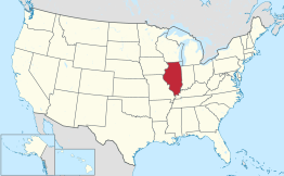 Locatie van Illinois in de VS | |||
| Situering | |||
| County | Clay County | ||
| Type plaats | Village | ||
| Staat | Illinois | ||
| Coördinaten | 38° 46′ NB, 88° 30′ WL | ||
| Algemeen | |||
| Oppervlakte | 1,8 km² | ||
| - land | 1,8 km² | ||
| - water | 0,0 km² | ||
| Inwoners (2006) | 1.247 | ||
| Overig | |||
| ZIP-code(s) | 62858 | ||
| FIPS-code | 44927 | ||
| |||
Demografie
Bij de volkstelling in 2000 werd het aantal inwoners vastgesteld op 1242.[1] In 2006 is het aantal inwoners door het United States Census Bureau geschat op 1247,[2] een stijging van 5 (0,4%).
Geografie
Volgens het United States Census Bureau beslaat de plaats een oppervlakte van 1,8 km², geheel bestaande uit land.
Plaatsen in de nabije omgeving
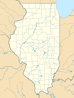
De onderstaande figuur toont nabijgelegen plaatsen in een straal van 20 km rond Louisville.
Externe link
| Bronnen, noten en/of referenties |
This article is issued from
Wikipedia.
The text is licensed under Creative
Commons - Attribution - Sharealike.
Additional terms may apply for the media files.