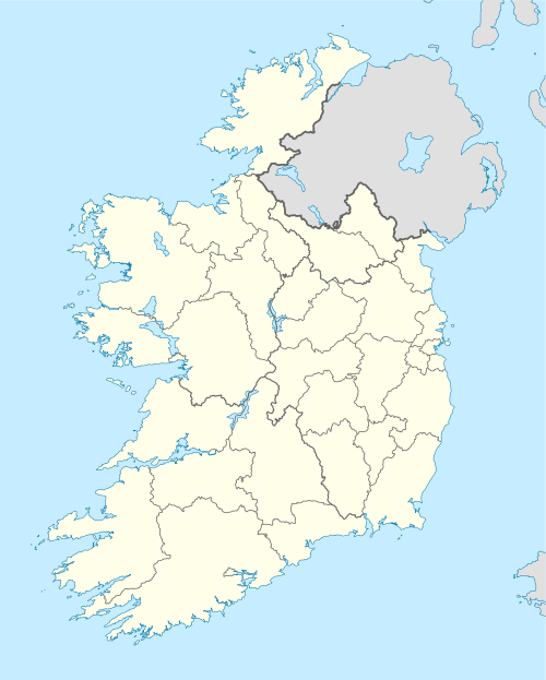
Inishtrahull
Inishtrahull Island is een eiland in het Ierse graafschap County Donegal. Het is het meest noordelijke eiland van Ierland.
Eiland in Ierland | |||
 | |||
| Situering | |||
| Graafschap | County Donegal | ||
| Coördinaten | 55° 26' NB, 7° 14' WL | ||
| Algemeen | |||
| Oppervlakte | 0.34 km² | ||
| Inwoners (2002) | onbewoond | ||
| Hoogte | 41 | ||
| Ierse grid | C439548 | ||
| |||
Het eiland is door de Inistrahull Sound gescheiden van het vasteland. Het is 1,3 km lang ( in oost-west-richting ) en maximaal 480 meter breed. De oppervlakte bedraagt 34 ha en het hoogste punt ligt op 41 meter. Aan de westzijde staat een 23 meter hoge vuurtoren die tot 1989 bewoond was. Het dorpje op het eiland werd al in 1929 verlaten.
Geplaatst op: 25-06-2007 |
Dit artikel is een beginnetje over landen & volken. U wordt uitgenodigd om op bewerken te klikken om uw kennis aan dit artikel toe te voegen. |
This article is issued from
Wikipedia.
The text is licensed under Creative
Commons - Attribution - Sharealike.
Additional terms may apply for the media files.