East Porterville
East Porterville is een plaats (census-designated place) in de Amerikaanse staat Californië, en valt bestuurlijk gezien onder Tulare County.
Plaats in de Verenigde Staten | |||
 | |||
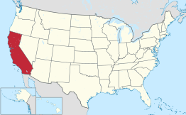 Locatie van Californië in de VS | |||
| Situering | |||
| County | Tulare County | ||
| Type plaats | Census-designated place | ||
| Staat | Californië | ||
| Coördinaten | 36° 3′ NB, 118° 59′ WL | ||
| Algemeen | |||
| Oppervlakte | 7,9 km² | ||
| - land | 7,9 km² | ||
| - water | 0,0 km² | ||
| Inwoners (2000) | 6.730 | ||
| Hoogte | 148 m | ||
| Overig | |||
| FIPS-code | 21012 | ||
| |||
Demografie
Bij de volkstelling in 2000 werd het aantal inwoners vastgesteld op 6730.[1]
Geografie
Volgens het United States Census Bureau beslaat de plaats een oppervlakte van 7,9 km², geheel bestaande uit land.
Plaatsen in de nabije omgeving
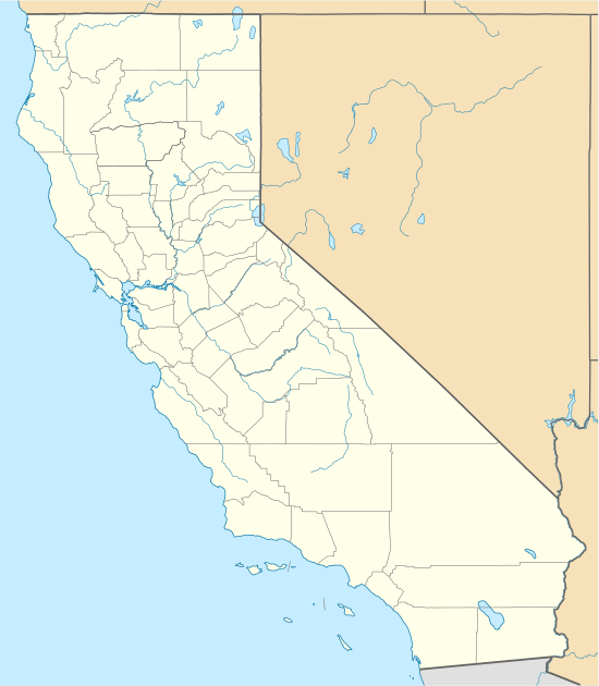
De onderstaande figuur toont nabijgelegen plaatsen in een straal van 24 km rond East Porterville.
Externe link
| Bronnen, noten en/of referenties |
This article is issued from
Wikipedia.
The text is licensed under Creative
Commons - Attribution - Sharealike.
Additional terms may apply for the media files.