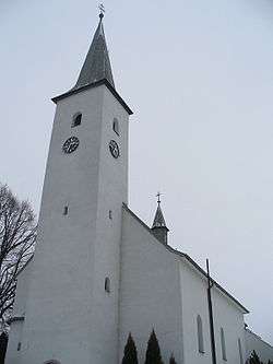
Zubrohlava
Zubrohlava is a village and municipality in Námestovo District in the Žilina Region of northern Slovakia.
Zubrohlava | |
|---|---|
Village | |
 | |
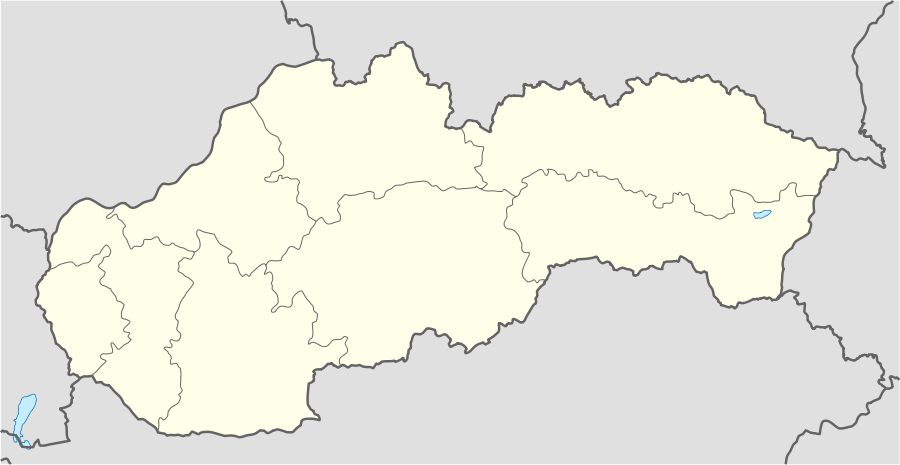 Zubrohlava Location of Zubrohlava in Slovakia | |
| Coordinates: 49°27′N 19°31′E | |
| Country | Slovakia |
| Region | Žilina |
| District | Námestovo |
| First mentioned | 1550[1]/1588[2] |
| Area | |
| • Total | 15.14 km2 (5.85 sq mi) |
| Elevation | 624 m (2,047 ft) |
| Population (31 December 2004) | |
| • Total | 2,044 |
| • Density | 140/km2 (350/sq mi) |
| Postal code | 029 43 |
| Area code(s) | +421-43 |
| Car plate | NO |
| Website | www.zubrohlava.eu |
History
In historical records the village was first mentioned in 1588.
Geography
The municipality lies at an altitude of 624 metres and covers an area of 15.144 km². It has a population of about 2,044 people.
References
- "Archived copy". Archived from the original on 27 September 2007. Retrieved 1 March 2008.CS1 maint: archived copy as title (link)
Municipalities of Námestovo District | ||
|---|---|---|
This article is issued from Wikipedia. The text is licensed under Creative Commons - Attribution - Sharealike. Additional terms may apply for the media files.