Zoutleeuw
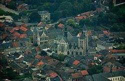
Zoutleeuw (Dutch pronunciation: [ˌzʌu̯tˈleːu], French: Léau) is a municipality and city in the Hageland, in the extreme east of the Belgian province of Flemish Brabant. On 1 January 2006 the municipality had 7,947 inhabitants. The total area is 46.73 km², giving a population density of 170 inhabitants per km².
Zoutleeuw | |
|---|---|
 | |
 Flag  Coat of arms | |
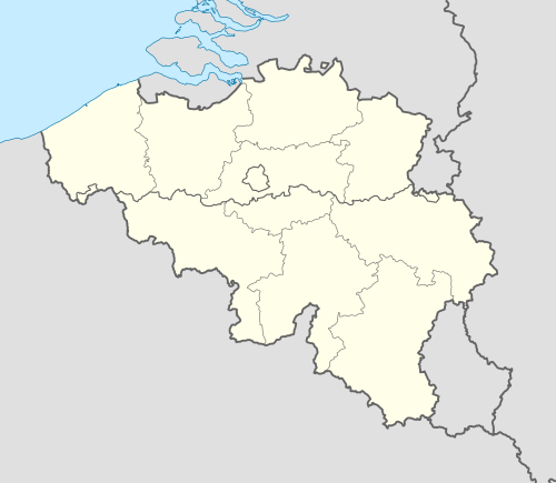 Zoutleeuw Location in Belgium
Location of Zoutleeuw in Flemish Brabant 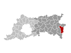 | |
| Coordinates: 50°50′N 05°06′E | |
| Country | Belgium |
| Community | Flemish Community |
| Region | Flemish Region |
| Province | Flemish Brabant |
| Arrondissement | Leuven |
| Government | |
| • Mayor | Boudewijn Herbots (CD&V) |
| • Governing party/ies | CD&V |
| Area | |
| • Total | 46.73 km2 (18.04 sq mi) |
| Population (2018-01-01)[1] | |
| • Total | 8,498 |
| • Density | 180/km2 (470/sq mi) |
| Postal codes | 3440 |
| Area codes | 011 |
| Website | www.zoutleeuw.be |
The name Leeuw means "lion", to which Zout ("salt") was added from the 16th century in recognition of the town's right to levy a salt tax.
Other centres
As well as Zoutleeuw proper, the municipality also comprises the villages of:
- Budingen
- Dormaal
- Halle-Booienhoven
- Helen-Bos
- Ossenweg
References
- "Wettelijke Bevolking per gemeente op 1 januari 2018". Statbel. Retrieved 9 March 2019.
External links

- Official website (in Dutch)
- Archaeology in Zoutleeuw
Places adjacent to Zoutleeuw | ||||||||||
|---|---|---|---|---|---|---|---|---|---|---|
| ||||||||||

This article is issued from Wikipedia. The text is licensed under Creative Commons - Attribution - Sharealike. Additional terms may apply for the media files.