Wingmore
Wingmore is a small village between Canterbury and Folkestone in Kent, England.[1] It is situated in the Elham Valley approximately halfway between the larger villages of Elham and Barham on the B2065. It consists of a few cottages and farms. The population at the 2011 Census was included in the civil parish of Elham
| Wingmore | |
|---|---|
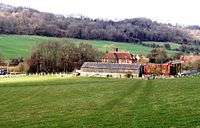 Wingmore Court Farm | |
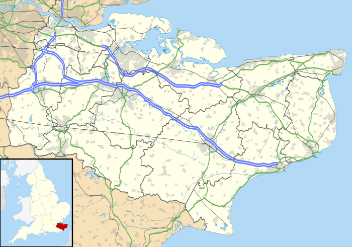 Wingmore Location within Kent | |
| District |
|
| Shire county | |
| Region | |
| Country | England |
| Sovereign state | United Kingdom |
| Post town | Canterbury |
| Postcode district | CT4 |
| Police | Kent |
| Fire | Kent |
| Ambulance | South East Coast |
| UK Parliament | |
References
- Ordnance Survey: Landranger map sheet 179 Canterbury & East Kent (Dover & Margate) (Map). Ordnance Survey. 2013. ISBN 9780319228784.
External links
![]()

This article is issued from Wikipedia. The text is licensed under Creative Commons - Attribution - Sharealike. Additional terms may apply for the media files.