White Mountains National Recreation Area
White Mountains National Recreation Area is a National Recreation Area in the U.S. state of Alaska. The national recreation area is located to the north of Fairbanks between the Elliott Highway and the Steese Highway in the White Mountains, with about 1,000,000 acres (400,000 ha) within its boundaries. It is managed by the U.S. Bureau of Land Management as part of the National Landscape Conservation System. Beaver Creek flows through the area and is listed as a wild and scenic river.[1][2]
| White Mountains National Recreation Area | |
|---|---|
.jpg) | |
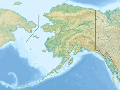 Map of the United States | |
| Location | Yukon-Koyukuk Borough Alaska, United States |
| Nearest city | Fairbanks, Alaska |
| Coordinates | 65.4°N 147.81667°W |
| Area | 1,000,000 acres (4,000 km2) |
| Governing body | Bureau of Land Management |
| Website | White Mountains National Recreation Area |
References
- "White Mountains National Recreation Area Map" (PDF). U.S. Bureau of Land Management. Retrieved 27 April 2012.
- "The White Mountains". U.S. Bureau of Land Management. September 3, 2009. Retrieved 27 April 2012.
External links
- White Mountains National Recreation Area at the BLM website
| Authority control |
|
|---|
This article is issued from Wikipedia. The text is licensed under Creative Commons - Attribution - Sharealike. Additional terms may apply for the media files.