Warranwood, Victoria
Warranwood is a suburb of Melbourne, Victoria, Australia, 25 km east of Melbourne's Central Business District. Its local government area is the City of Maroondah. At the 2016 census, Warranwood had a population of 4,807.[1]
| Warranwood Melbourne, Victoria | |||||||||||||||
|---|---|---|---|---|---|---|---|---|---|---|---|---|---|---|---|
 Warranwood | |||||||||||||||
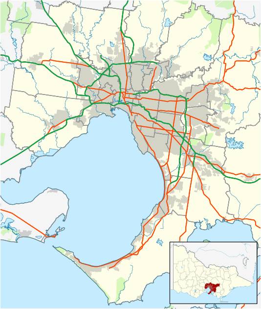
| Coordinates | 37.777°S 145.249°E | ||||||||||||||
| Population | 4,807 (2016 census)[1] | ||||||||||||||
| • Density | 1,717/km2 (4,450/sq mi) | ||||||||||||||
| Postcode(s) | 3134 | ||||||||||||||
| Area | 2.8 km2 (1.1 sq mi) | ||||||||||||||
| Location | 25 km (16 mi) from Melbourne | ||||||||||||||
| LGA(s) | City of Maroondah | ||||||||||||||
| State electorate(s) | Warrandyte | ||||||||||||||
| Federal Division(s) | Menzies | ||||||||||||||
| |||||||||||||||
Etymology
Warranwood is adjacent to Warrandyte South and Ringwood; its name is a conjunction of the two words.
Education
Two schools are located in Warranwood; Melbourne Rudolf Steiner School, on Wonga Road and Warranwood Primary School, on Wellington Park Drive.
Warranwood Primary was formerly known as Warrandyte South Primary and relocated to its current location in Term 2, 1996.
See also
- City of Doncaster & Templestowe - the former local government area of which Warranwood was a part
References
- "2016 Census QuickStats Warranwood". Australian Bureau of Statistics. Retrieved 15 June 2018.
This article is issued from Wikipedia. The text is licensed under Creative Commons - Attribution - Sharealike. Additional terms may apply for the media files.