Warm Springs, Nevada
Warm Springs is a former town in the Tonopah Basin in Nye County, Nevada, near the mountain pass which divides the Kawich and Hot Creek ranges (at 38.19°N 116.37°W). It is located at the junction of U.S. Route 6 and State Route 375 (the "Extraterrestrial Highway"), around 50 miles east of Tonopah. Only two abandoned buildings remain.
Warm Springs, Nevada | |
|---|---|
 Warm Springs, Nevada | |
| Coordinates: 38°11′26″N 116°22′12″W | |
| Country | United States |
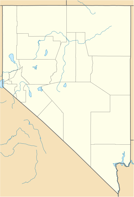
| State | Nevada |
| County | Nye |
| Elevation | 5,423 ft (1,653 m) |
| Time zone | UTC-8 (Pacific) |
| • Summer (DST) | UTC-7 (PDT) |
| ZIP code | 89049 |
History
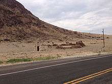
Abandoned ruins in Warm Springs
The first white settlement in Warm Springs was in 1866, when it served as a stopover for stagecoaches and other travellers. Never more than a tiny settlement, Warm Springs' population dwindled until it became a ghost town. All that remained was a single streetlight, a telephone box, and several huts built over pools filled by the warm springs that give the town its name.
External links
Municipalities and communities of Nye County, Nevada, United States | ||
|---|---|---|
| Unincorporated towns | 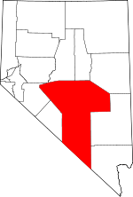 Nye County map | |
| Other unincorporated communities | ||
| Ghost towns | ||
This article is issued from Wikipedia. The text is licensed under Creative Commons - Attribution - Sharealike. Additional terms may apply for the media files.