Wandin North, Victoria
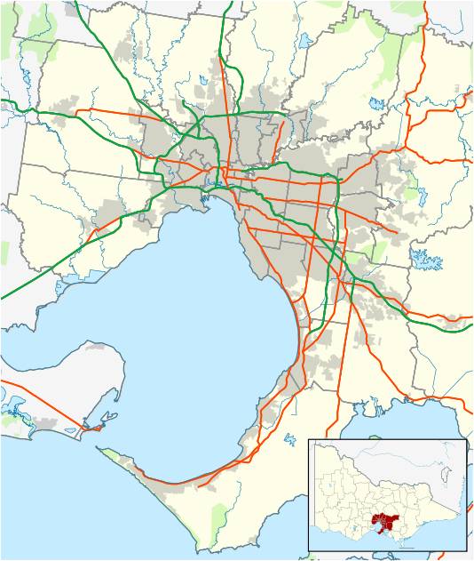
Wandin North is a suburb in Melbourne, Victoria, Australia, 40 km east from Melbourne's central business district. Its local government area is the Shire of Yarra Ranges. At the 2016 census, Wandin North had a population of 3,051.[1]
| Wandin North Victoria | |||||||||||||||
|---|---|---|---|---|---|---|---|---|---|---|---|---|---|---|---|
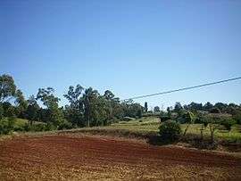 Pastoral property in Wandin North | |||||||||||||||
 Wandin North | |||||||||||||||
| Coordinates | 37.769°S 145.411°E | ||||||||||||||
| Population | 3,051[1] (2016 census) | ||||||||||||||
| Postcode(s) | 3139 | ||||||||||||||
| Elevation | 159 m (522 ft) | ||||||||||||||
| Location | |||||||||||||||
| LGA(s) | Shire of Yarra Ranges | ||||||||||||||
| State electorate(s) | Evelyn | ||||||||||||||
| Federal Division(s) | Casey | ||||||||||||||
| |||||||||||||||
History
The Post Office opened around 1909. An earlier office (1884) named Wandin North was renamed Seville.[2] There are two operational schools in Wandin North and the original of these schools is Wandin Yallock Primary School which was established in 1870.[3] It is nestled amongst orchards and general farming land in the picturesque Yarra Valley. The Wandin North Primary School opened in 1915 and in 2016 had 240 students.[4]
Railway
Wandin North used to have a railway station simply called Wandin on the Warburton branch line which opened in 1901 and closed in 1965.
The town today
Wandin North contains a number of attractions such as Warratina Lavender Farm, Native plant Garden, Mont De Lancey, Wild Cattle Creek Winery and the numerous fruit orchards.
Wandin North is the home of a vibrant shopping precinct.
See also
References
- "2016 Census QuickStats: Wandin North". Australian Bureau of Statistics. Retrieved 28 April 2018.
- Premier Postal History, Post Office List, retrieved 11 April 2008
- https://wandinyallockps.vic.edu.au/our-vision
- http://www.wandinnorthps.vic.edu.au/