Włoczewo
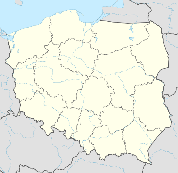
Włoczewo [vwɔˈt͡ʂɛvɔ] is a village in the administrative district of Gmina Stara Biała, within Płock County, Masovian Voivodeship, in east-central Poland.[1] It lies approximately 14 kilometres (9 mi) north of Płock and 105 km (65 mi) north-west of Warsaw.
Włoczewo | |
|---|---|
Village | |
 Włoczewo | |
| Coordinates: 52°40′N 19°39′E | |
| Country | |
| Voivodeship | Masovian |
| County | Płock County |
| Gmina | Stara Biała |
Geography
Wloczewo is located at 52 ° 40'02 "N 19 ° 38'08" E
The village is in the valley of the Vistula river outside of Plock.[2] In 2011 the population of the village was 141[3][4]
History
After the Partition of the Polish–Lithuanian Commonwealth, the district was part of the area annexed by Prussia.
In October 1939 the Nazi occupation transferred the village to be part of the Zichenau (region) of East Prussia.
In the years 1975–1998, the town was administratively part of the Plock province.
References
- "Central Statistical Office (GUS) – TERYT (National Register of Territorial Land Apportionment Journal)" (in Polish). 2008-06-01.
- Wloczewo in the Slowniku geograficznym Królestwa Polskiego. vol. XIII: (Warmbrun – Worowo. Warszawa 1893.)
- Strona polskawliczbach.pl
- http://stat.gov.pl/download/gfx/portalinformacyjny/pl/defaultaktualnosci/5670/21/1/1/1_miejscowosci_ludnosc_nsp2011.xlsx. Missing or empty
|title=(help)
This article is issued from Wikipedia. The text is licensed under Creative Commons - Attribution - Sharealike. Additional terms may apply for the media files.