Utiel
Utiel is a municipality in the comarca of Requena-Utiel in the Valencian Community, Spain.
Utiel | |
|---|---|
 Flag  Coat of arms | |
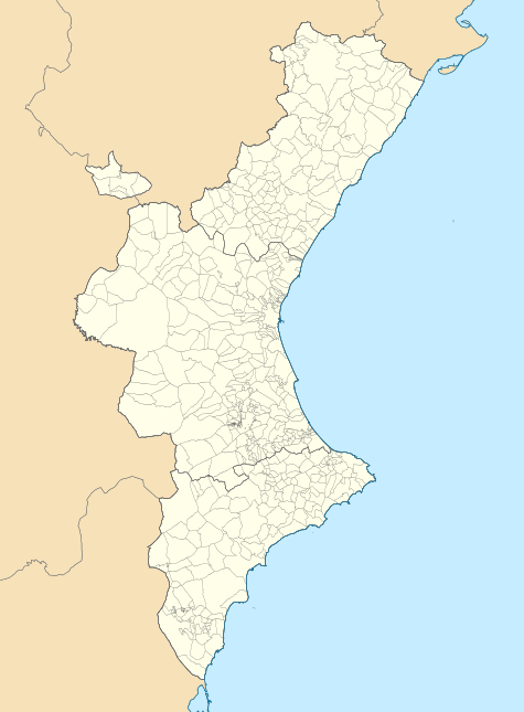 Utiel Location in Spain 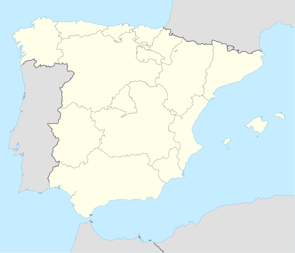 Utiel Utiel (Spain) | |
| Coordinates: 39°34′2″N 1°12′24″W | |
| Province | Valencia |
| Comarca | Requena-Utiel |
| Judicial district | Requena |
| Government | |
| • Alcalde | José Luis Ramírez Ortiz (2011) (PP) |
| Area | |
| • Total | 236.9 km2 (91.5 sq mi) |
| Elevation | 720 m (2,360 ft) |
| Population (2018)[1] | |
| • Total | 11,540 |
| • Density | 49/km2 (130/sq mi) |
| Demonym(s) | Utielano, Utielana |
| Time zone | UTC+1 (CET) |
| • Summer (DST) | UTC+2 (CEST) |
| Postal code | 46300 |
| Official language(s) | Spanish |
| Website | Official website |
According to the 2014 census,[2] the municipality has a population of 12,082 inhabitants.
The Shrine of El Remedio is located on top of the Sierra de Utiel range, near Utiel.[3]
Population centres
- Utiel town.
- Las Casas, at the feet of the Sierra de la Bicuerca, with 350 inhabitants.[4]
- Los Corraleses, about 5 km from Utiel town, with 327 inhabitants
- Las Cuevas, with 607 inhabitants. The railway station of the Cuenca-Valencia line is located in this village.
- Estenas, in the Sierra del Negrete, with 34 inhabitants
- La Torre, about 13 km NW of Utiel town, with 145 inhabitants
- Other minor settlements include El Remedio, Casas de Medina and El Hontanar.
References
- Municipal Register of Spain 2018. National Statistics Institute.
- Instituto Nacional de Estadística (INE)
- "Images of The Shrine of El Remedio, near Utiel". Archived from the original on 2007-09-28. Retrieved 2007-06-09.
- Las Casas de Utiel
External links


| Authority control |
|
|---|
This article is issued from Wikipedia. The text is licensed under Creative Commons - Attribution - Sharealike. Additional terms may apply for the media files.