Tvrdošín
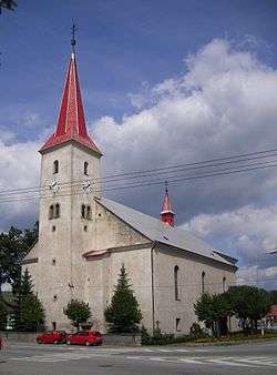
Tvrdošín (German: Turdoschin (rare); Hungarian: Turdossin; Polish: Twardoszyn) is a town in central Slovakia.
Tvrdošín | |
|---|---|
Town | |
 | |
 Coat of arms | |
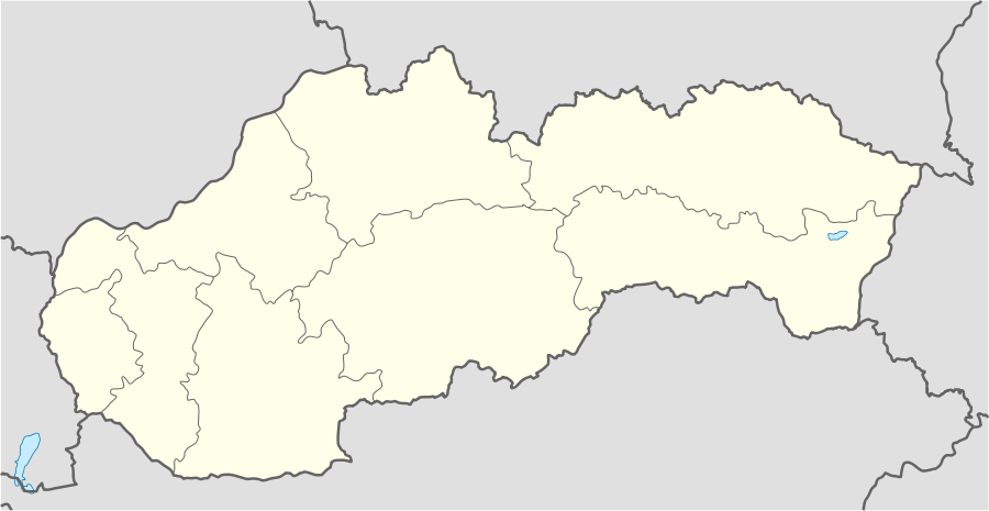 Tvrdošín Location of Tvrdošín in Slovakia | |
| Coordinates: 49°20′3.4″N 19°33′17.3″E | |
| Country | Slovakia |
| Region | Žilina |
| District | Tvrdošín |
| First mentioned | 1111 |
| Government | |
| • Mayor | Ivan Šaško |
| Area | |
| • Total | 56.553 km2 (21.835 sq mi) |
| Elevation | 569 m (1,867 ft) |
| Population (2018-12-31[1]) | |
| • Total | 9,224 |
| • Density | 160/km2 (420/sq mi) |
| Time zone | UTC+1 (CET) |
| • Summer (DST) | UTC+2 (CEST) |
| Postal code | 027 44 |
| Area code(s) | +421-43 |
| Car plate | TS |
| Website | www.tvrdosin.sk |
Geography
The town is located at the confluence of the Orava and Oravica rivers, 12 km (7 mi) from the Polish borders and cca. 32 km (20 mi) from Dolný Kubín. It consists of the boroughs of Krásna Hôrka, Medvedzie, and Tvrdošín.
History
The town was mentioned in the Zobor documents in 1111 and in the document of Béla III of Hungary in 1183. It received royal free town privileges in 1369.[2]
Demographics
According to the 2001 census, the town had 9,544 inhabitants. 99.03% of inhabitants were Slovaks, 0.53% Czechs and 0.19% Polish.[3] The religious make-up was 92.10% Roman Catholics, 4.84% people with no religious affiliation and 1.18% Lutherans.[3]
Twin towns — Sister cities
Tvrdošín is twinned with:[4]

.svg.png)


References
- "Population and migration". Statistical Office of the Slovak Republic. Retrieved 2019-04-16.
- (Slovak)
- "Municipal Statistics". Statistical Office of the Slovak republic. Archived from the original on 2008-02-08. Retrieved 2008-02-17.
- "Partnerské mestá". tvrdosin.sk (in Slovak). Tvrdošín. Retrieved 2019-09-08.
External links
- Official website

Municipalities of Tvrdošín District | ||
|---|---|---|
| Authority control |
|
|---|