Tumbul
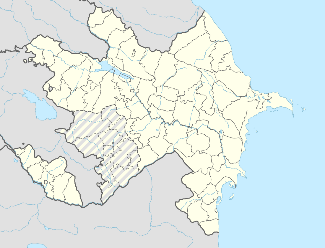
Tumbul is a village and municipality in the Nakhchivan city of Nakhichivan Autonomous Republic, Azerbaijan. It is located 5 km in the south from the city center, on the Nakhchivan plain. Its population is mainly busy with grape-growing. There are secondary school, club, library and a medical center in the village.[1] It has a population of 1,595. The municipality consists of the villages of Tumbul and Haciniyyət.[2]
Tumbul | |
|---|---|
Municipality | |
 Tumbul | |
| Coordinates: 39°10′00″N 45°25′23″E | |
| Country | |
| Autonomous republic | Nakhchivan |
| Population (2005) | |
| • Total | 1,595 |
| Time zone | UTC+4 (AZT) |
Etymology
According to some researchers, the name is reflects the name of the Kurdish tribe which called dumbuli. This tribe have been moved from Syria to the south of Azerbaijan in the period of the Kara Koyunlu ruler Qara Yusuf (1410–20) and later they served to the Gyzylbashs. At the present in Iran, the remains of this tribe are known as isabeyli. At the Safavid period, a part of the dumbulis have moved to the north of the Azerbaijan.[3]
History
Since June 9, 2009, by the decree of the President of the Azerbaijan Republic, the Tumbul and Haciniyyət villages of the Babek Rayon are included in the scope of the administrative territorial unit of Nakhchivan city.[4]
References
- ANAS, Azerbaijan National Academy of Sciences (2005). Nakhchivan Encyclopedia. volume II. Baku: ANAS. p. 334. ISBN 5-8066-1468-9.
- "Belediyye Informasiya Sistemi" (in Azerbaijani). Archived from the original on September 24, 2008.
- Encyclopedic dictionary of Azerbaijan toponyms. In two volumes. Volume I. p. 304. Baku: "East-West". 2007. ISBN 978-9952-34-155-3.
- AZƏRBAYCAN RESPUBLİKASININ QANUNU
_(semi-secession).svg.png)