Trojane
Trojane (pronounced [tɾɔˈjaːnɛ]; Latin: Atrans, German: Trojana[2]) is a settlement in the Municipality of Lukovica in central Slovenia.[3] It lies in the northern part of the Sava Hills, on a hill near the border of two Slovene regions, Carniola and Styria. Until the freeway was finished in 2005, Trojane was on the main route from Ljubljana to Maribor.
Trojane | |
|---|---|
 | |
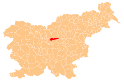
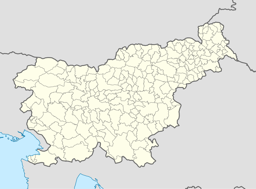 Trojane Location in Slovenia | |
| Coordinates: 46°11′17.08″N 14°52′58.87″E | |
| Country | |
| Traditional region | Upper Carniola |
| Statistical region | Central Slovenia |
| Municipality | Lukovica |
| Area | |
| • Total | 0.88 km2 (0.34 sq mi) |
| Elevation | 561.4 m (1,841.9 ft) |
| Population (2002) | |
| • Total | 103 |
| [1] | |
The Romans built a road on the route connecting Aquileia, Emona, Atrans, and Celeia. Trojane was an important way station, military post, and marketplace, and the town was surrounded by a defensive wall.
The archaeological remains of Atrans can be still seen in Trojane. In the Roman Empire, Trojane (Atrans) was on the border between Italy and the province of Noricum.
Trojane is particularly known for the local restaurant's filled doughnuts (Slovene: krofi), originally made with apricot jam filling.[4]
References
- Statistical Office of the Republic of Slovenia
- Leksikon občin kraljestev in dežel zastopanih v državnem zboru, vol. 6: Kranjsko. 1906. Vienna: C. Kr. Dvorna in Državna Tiskarna, p. 22.
- Lukovica Municipality site
- Slovenian Tourist Board site
External links

- Trojane on Geopedia