Tombel
Tombel is a town and commune in the Southwest Region of Cameroon, in the north of the Mungo Valley, in an area disputed with Ambazonia. The town is traditionally part of the Bakossi people's country, but now has a significant population of Bamileke people and others.[1]
Tombel | |
|---|---|
Commune and town | |
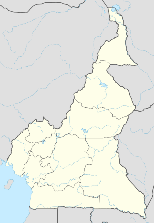 Tombel Location in Cameroon | |
| Coordinates: 4°44′47″N 9°40′13″E | |
| Country | |
| Region | Southwest |
| Department | Koupé-Manengouba |
| Time zone | UTC+1 (WAT) |
In late 1966 tension between the two communities resulted in an outbreak of violence in which 236 Bamaleke settlers were killed. looting and burning their houses. In response, the army moved in, rounded up all able-bodied Bakossi men in the Tombel area and placed them in detention camps, where many were severely tortured to obtain confessions. Eventually 143 Bakossi men were put on trial and 17 sentenced to death, while 75 received life sentences of life imprisonment.[1]
Lying immediately to the south of Mount Kupe, Tombel receives little direct sunshine, particularly in the rainy season, due to constant cloud cover.[2] The town has suffered from persistent shortages of water supply, despite several forceful attempts by the women of the town to improve the situation.[3]
Tombel is the largest town of Kupe Muanenguba Division. This is also the headquarters of one of the three subdivisions of Kupe Muanenguba division. From its 5 km distance from Loum to the East Littoral region and its large population of migrants from other provinces, the town enjoys an advantage in bilingualism (French and English). Tombel, is a welcoming place to people from other villages of Bakossi as well as Bamilekes from the West. The presence of other ethnique groups like Bamilekes, Bafia and Doualas is fast transforming the town into a small cosmopolitan town. Tombel is also an important road intersection to Kumba, Loum to north, west and Douala as well to other areas of the division including Bangem, the headquarters of Kupe Muanenguba division.
At the foot of Kupe Mountain, Tombel attracks visitors who seek adventure to climb the mountain, which provides excitement to tourists interested in the diversity of plants, animals and birds found in the mounenguba mist. Between Loum in the Littoral and Tombel is gound a place popularly known as "customs". Customs is the place where Southern Cameroonians, prior to the1961plebiscite where obliged to show their "Laissez-passer" (a kind of visa) which permitted them to cross over to independent "la république du Cameroun". Upon Reunification, the customs barrier was removed but the building still lies there, abandoned but still carrying the story of reunification .
The reunification road is the Loum-Tombel-Kumba road. Unfortunately this road has been abandoned and passing through it at any time of the year requires a lot of courage on the part of the driver. Although Tombel sub division is one of the major bread baskets of the country with fertile volcanic soils, a temperate climate, highly productive cocoa and coffee farms and other cash crops, poverty is the language of the people. The bad roads have left the area enclaved, the reunification story carried by the road notwithstanding .
References
- Piet Konings (2009). "Factors underlying the 1966 Bakossi-Bamileke confrontation". Neoliberal Bandwagonism: Civil Society and the Politics of Belonging in Anglophone Cameroon. African Books Collective. p. 39ff. ISBN 9956-558-23-0.
- Cornelius Mbifung Lambi, Emmanuel Ndenecho Neba (2009). Ecology and Natural Resource Development in the Western Highlands of Cameroon: Issues in Natural Resource Management. African Books Collective. p. 110. ISBN 9956-615-48-X.
- Ben Page (2005). "Naked Power: Women and the Social Production of Water in Anglophone Cameroon". In Anne Coles, Tina Wallace (ed.). Gender, water and development. Berg Publishers. p. 57ff. ISBN 1-84520-125-6.
See also
- Website dedicated to the people from Tombel
- Councils of Cameroon