Thaungdut
Thaungdut is a village on the Chindwin River in Homalin Township in Hkamti District in the Sagaing Region of northwestern Burma. It is located next to Chaunggan.[1][2]
Thaungdut | |
|---|---|
Village | |
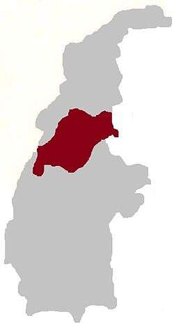
 Thaungdut Location in Burma | |
| Coordinates: 24°26′N 94°42′E | |
| Country | |
| Region | Sagaing Region |
| District | Hkamti District |
| Township | Homalin Township |
| Time zone | UTC+6.30 (MST) |
History
Originally, Thaungdut (Hsawnghsup) was one of the Shan States ruled by Shan saophas, but later it became part of Shan State.[3]
References
- Google Maps (Map). Google.
|access-date=requires|url=(help) - Bing Maps (Map). Microsoft and Harris Corporation Earthstar Geographics LLC.
|access-date=requires|url=(help) - Chisholm, Hugh, ed. (1911). . Encyclopædia Britannica. 24 (11th ed.). Cambridge University Press. pp. 802–803.
External links
This article is issued from Wikipedia. The text is licensed under Creative Commons - Attribution - Sharealike. Additional terms may apply for the media files.