Tavertet
Tavertet is a small town located above some cliffs, 900m above sea level, in the area known as Collsacabra, north of the Guilleries, in the comarca of Osona in Catalonia.
Tavertet | |
|---|---|
 Tavertet with the Puig de les Baumes rising over the town and the Pre-Pyrenees in the far distance | |
 Coat of arms | |
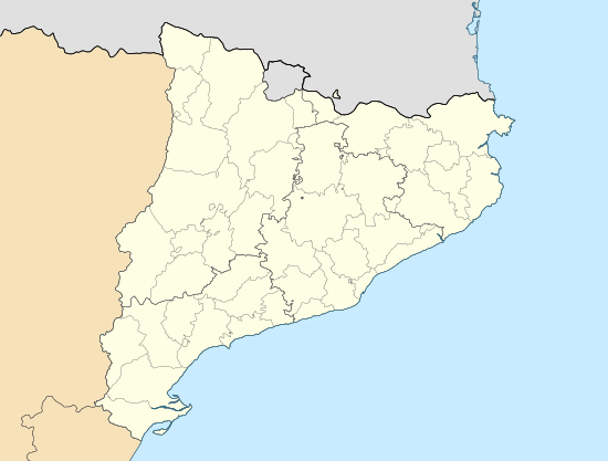 Tavertet Location in Catalonia | |
| Coordinates: 41°59′51″N 2°25′11″E | |
| Country | |
| Community | |
| Province | Barcelona |
| Comarca | Osona |
| Government | |
| • Mayor | Lurdes Rovira Plarromaní (2015)[1] |
| Area | |
| • Total | 32.5 km2 (12.5 sq mi) |
| Elevation | 869 m (2,851 ft) |
| Population (2018)[3] | |
| • Total | 111 |
| • Density | 3.4/km2 (8.8/sq mi) |
| Website | tavertet |
Below the cliffs is Pantà de Sau, a reservoir that dammed the waters of the river Ter in the 1960s. Tavertet is nowadays a tourist-oriented town with many holiday homes, where Raimon Panikkar lived. Tavertet is linked by road BV5207 to the town of L'Esquirol, also known as Santa Maria de Corcó. There is also a minor road north of the village above the cliffs through a beech forest linking the town to Rupit.
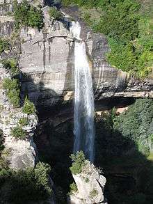
Molí-bernat waterfall near Tavertet
References
- "Ajuntament de Tavertet". Generalitat of Catalonia. Retrieved 2015-11-13.
- "El municipi en xifres: Tavertet". Statistical Institute of Catalonia. Retrieved 2015-11-23.
- Municipal Register of Spain 2018. National Statistics Institute.
External links
- Government data pages (in Catalan)
- Link with the web page: Associació Amics de Tavertet (in Catalan)
Places adjacent to Tavertet | |
|---|---|
.svg.png)
This article is issued from Wikipedia. The text is licensed under Creative Commons - Attribution - Sharealike. Additional terms may apply for the media files.