Tarin Rock, Western Australia
Tarin Rock (33°06′S 118°14′E) is a locality,[2] railway siding and rock formation[3] on the Wagin to Lake Grace branch line, located approximately 18 km east of Kukerin in Western Australia.[4]
| Tarin Rock Western Australia | |
|---|---|
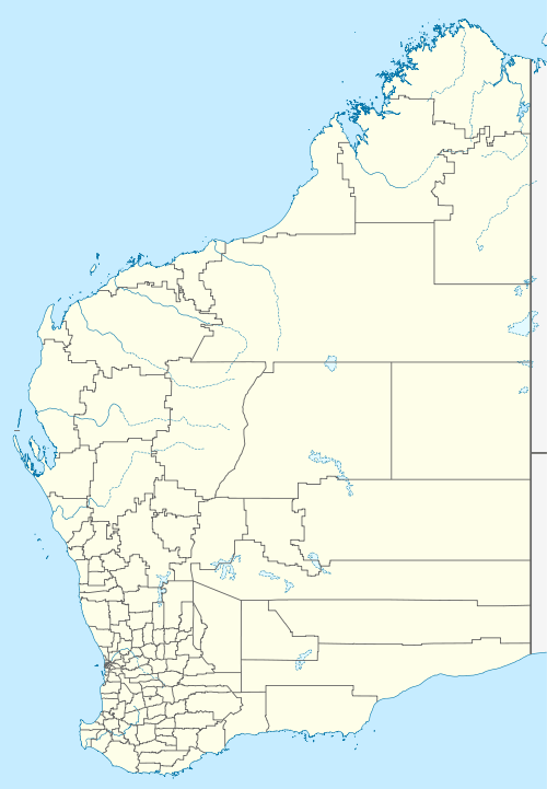 Tarin Rock Location in Western Australia | |
| Coordinates | 33°06′S 118°14′E |
| Population | 43 (2016 census)[1] |
| Postcode(s) | 6353 |
| LGA(s) | Shire of Dumbleyung |
| State electorate(s) | Roe |
| Federal Division(s) | O'Connor |
The surrounding areas produce wheat and other cereal crops. The primary remnants of the town include the Tarin Rock Tennis Club, the surge receival site for Cooperative Bulk Handling and the cemetery to the south.[5][6]
References
- Australian Bureau of Statistics (27 June 2017). "Tarin Rock (State Suburb)". 2016 Census QuickStats. Retrieved 10 March 2020.

- Gable, Walter, 1921-; Rural & Isolated Schools (W.A.) (1988), Jinarnin, Tarin Rock, Dumbleyung, W. Gable, retrieved 9 March 2012CS1 maint: multiple names: authors list (link)
- Kitchener, D J; Western Australian Museum (1976), Biological survey of the Western Australian wheatbelt : preface to the series and part 1 : Tarin Rock and North Tarin Rock reserves, Western Australian Museum, retrieved 9 March 2012
- "Missing man". The West Australian. Perth: National Library of Australia. 1 April 1935. p. 16. Retrieved 9 March 2012.
- "CBH receival sites" (PDF). 2011. Archived from the original (PDF) on 18 March 2012. Retrieved 1 April 2013.
- "State Heritage Council". 2017. Retrieved 10 March 2020.
This article is issued from Wikipedia. The text is licensed under Creative Commons - Attribution - Sharealike. Additional terms may apply for the media files.