Stockton State Park
Stockton State Park is a public recreation area occupying 2,176 acres (881 ha) on the shore of Stockton Lake, nine miles (14 km) south of Stockton, Missouri. The state park occupies a northward jutting peninsula between the Big Sac and Little Sac arms of the 25,000-acre (10,000 ha) lake, which was created when the U.S. Army Corps of Engineers dammed the Sac River in 1969.[4]
| Stockton State Park | |
|---|---|
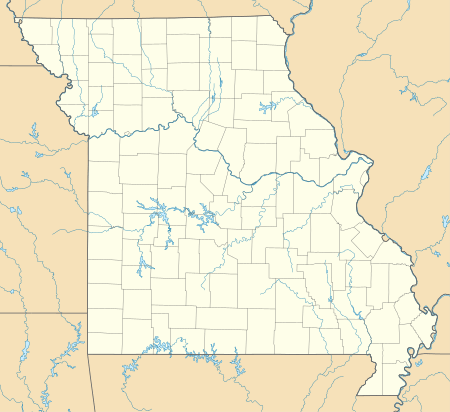 Location in Missouri  Stockton State Park (the United States) | |
| Location | Cedar, Missouri, United States |
| Coordinates | 37°36′38″N 93°44′56″W[1] |
| Area | 2,175.90 acres (8.8056 km2)[2] |
| Elevation | 948 ft (289 m)[1] |
| Established | 1969[3] |
| Governing body | Missouri Department of Natural Resources |
| Website | Stockton State Park |
Activities and amenities
The park provides recreation that includes fishing, swimming, skiing, scuba diving, and sailing. The park's marina has two boat ramps and more than 300 stalls, some assigned exclusively to sailboats. There are also picnicking areas, campgrounds, and camper cabins.[4]
References
- "Stockton State Park". Geographic Names Information System. United States Geological Survey.
- "Stockton State Park: Data Sheet" (PDF). Missouri Department of Natural Resources. November 2017. Retrieved May 3, 2018.
- "State Park Land Acquisition Summary". Missouri State Parks. Retrieved May 3, 2018.
- "Stockton State Park". Missouri Department of Natural Resources. Retrieved September 8, 2014.
External links
- Stockton State Park Missouri Department of Natural Resources
- Stockton State Park Map Missouri Department of Natural Resources
This article is issued from Wikipedia. The text is licensed under Creative Commons - Attribution - Sharealike. Additional terms may apply for the media files.