Stamperland
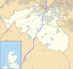
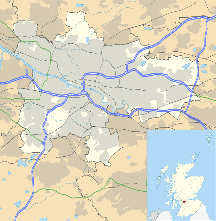
Stamperland is a suburban neighbourhood in Clarkston, East Renfrewshire, Scotland. Part of the Greater Glasgow conurbation, it is situated on the west bank of the White Cart Water about 4.5 miles (7.2 km) south of Glasgow city centre, and just outside the city boundary.
| Stamperland | |
|---|---|
 Shops on Clarkston Road, with Stamperland Church in the background | |
| Population | 3,610 (2012 est.) |
| • Edinburgh | 70.0km |
| • London | 549.31km |
| Community council |
|
| Council area | |
| Lieutenancy area | |
| Country | Scotland |
| Sovereign state | United Kingdom |
| Post town | GLASGOW |
| Postcode district | G76 |
| Dialling code | 0141 |
| Police | Scotland |
| Fire | Scottish |
| Ambulance | Scottish |
| UK Parliament | |
| Scottish Parliament | |
Location and demography
Stamperland is an area of Clarkston, to the south of Glasgow. Adjacent places are Netherlee to the north and the rest of Clarkston to the south. It is bordered by Clarkston Road to the west, the railway to the south and the White Cart Water to the east. It is served by the Glasgow Central to East Kilbride line through Clarkston railway station at the south of the area. Also somewhat nearby are Muirend and Williamwood stations on the Neilston branch of the Cathcart Circle.
The area is mainly housing dating from the 1920s and early 1930s, previously farmland under the farms of Stamperland (around The Oval today), Slamanshill (around Stamperland Avenue) and Overlee House, which still exists today in the Overlee Park.[1] but there is a small group of local shops located at the junction of Clarkston Road, Stamperland Crescent and Stamperland Gardens. Also at this location is Stamperland Parish Church (Church of Scotland). Other local facilities include a social club, bowling and tennis clubs. The area also contains the large Overlee Park, which is home to multiple football pitches, and a large childrens' playground.
For census purposes, Stamperland is classified as a separate locality within the settlement of Greater Glasgow, within the East Renfrewshire council area; however, for most other purposes it is considered to be a part of the town of Clarkston.[2][3] The most recent estimate, from mid-2012, gives a population of 3,610.[4]
Landmarks

The present Stamperland Parish Church, opened in 1964, is a modern-style building with a concrete bell tower. Services had previously been held in temporary accommodation since the founding of the congregation in 1940.[5]
Overlee Playing Fields is a park situated on Moray Drive. In the early 1800s, the remains of a village of underground dwellings (souterrains or weems) from around 2000 years earlier was uncovered by the local landowner preparing the ground for use as a quarry, but its significance was not recognised and the evidence was destroyed.[1][6][7] The area is home to four separate sports pitches, a playground and a pavilion. The pavilion has been abandoned for around five years after large amounts of bats made their home there. According to plans released by the local authority in 2018 replacement building (which will also include a small nursery and a house for the bats) will soon be built on an adjacent site.[8] As of October 2019, the building is now under construction.
References
- Clarkston, Stamperland & Netherlee, Portal to the Past (East Renfrewshire Culture and Leisure)
- "Grass pitch locations - East Renfrewshire Council". eastrenfrewshire.gov.uk. Retrieved 27 March 2019.
- "Ward 4 - Clarkston, Netherlee and Williamwood - East Renfrew..." eastrenfrewshire.gov.uk. Retrieved 27 March 2019.
- "Estimated population of localities by broad age groups, mid-2012" (PDF). National Records of Scotland. Retrieved 3 March 2017.
- "Stamperland Church, Clarkston". Scotland's Churches Trust. Retrieved 17 July 2019.
- Clarkston, Overlee, Canmore
- Overlee, Clarkston, Renfrewshire, The Northern Antiquarian, 2 March 2018
- Council sets out £23m plan for five new nurseries, East Renfrewshire Council, 28 September 2018
External links
