Spišské Vlachy
Spiśské Vlachy (Hungarian: Szepesolaszi, German: Wlachi, Wlachy or Wallendorf, Latin: Villa Latina) is a town in eastern Slovakia. It is in the Spiš region (Szepes in Hungarian or Zips in German). It is now administratively in the district of Spišská Nová Ves, which is part of the Košice Region. The adjective "Spišské" is used to distinguish it from 6 other towns listed as "Olasz" or "Olaszi" in an 1828 Hungarian property tax list. Two “Town wards” (suburbs) belong to Spišské Vlachy:
- Dobra Voľa lies to the north and
- Zahura lies to the south.
Spišské Vlachy | |
|---|---|
Town | |
 Town square | |
 Coat of arms | |
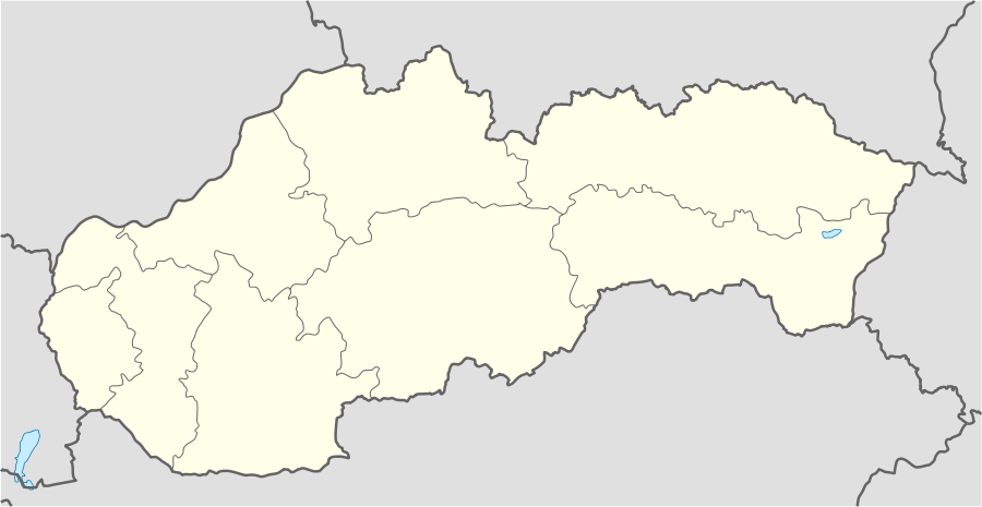 Spišské Vlachy Location of Spišské Vlachy within Slovakia | |
| Coordinates: 48°56′59″N 20°47′50″E | |
| Country | Slovakia |
| Region | Košice |
| District | Spišská Nová Ves |
| First mentioned | 1243 |
| Government | |
| • Mayor | Ľubomír Fifik |
| Area | |
| • Total | 42.214 km2 (16.299 sq mi) |
| Elevation | 389 m (1,276 ft) |
| Population (2018-12-31[1]) | |
| • Total | 3,457 |
| • Density | 82/km2 (210/sq mi) |
| Time zone | UTC+1 (CET) |
| • Summer (DST) | UTC+2 (CEST) |
| Postal code | 023 56 |
| Area code(s) | 421-53 |
| Car plate | SN |
| Website | www.spisskevlachy.sk |
Geography
It is situated just north of the Hornád River, near its confluence with the Margencanka stream. It is about 20 kilometres (12 miles) east of Spišská Nová Ves and about 42 km (26 mi) northwest of Košice. It is 389 meters above sea level and is located at 48 degrees 57 minutes North and 20 degrees 48 minutes East. It has a temperate climate. Its average temperature is about 6 degrees. The annual rainfall is 650 millimeters. The soil is favorable for meadows with more fertile land to the south. The southern outskirts have caves and small lakes on the Svätojanský (English: Saint John's) stream.
Notable people
- František Tondra, Roman Catholic bishop
References
- Notes
- "Population and migration". Statistical Office of the Slovak Republic. Retrieved 2019-04-16.