South Wimbledon tube station
South Wimbledon is a London Underground station in South Wimbledon, a suburb of Wimbledon in south-west London. The station is on the Northern line, situated between Colliers Wood and Morden stations. It is located on the corner of Merton High Street (A238) and Morden Road (A219). South Wimbledon is on the boundary between Travelcard Zone 3 and Zone 4.
| South Wimbledon | |
|---|---|
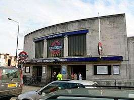 The station entrance | |
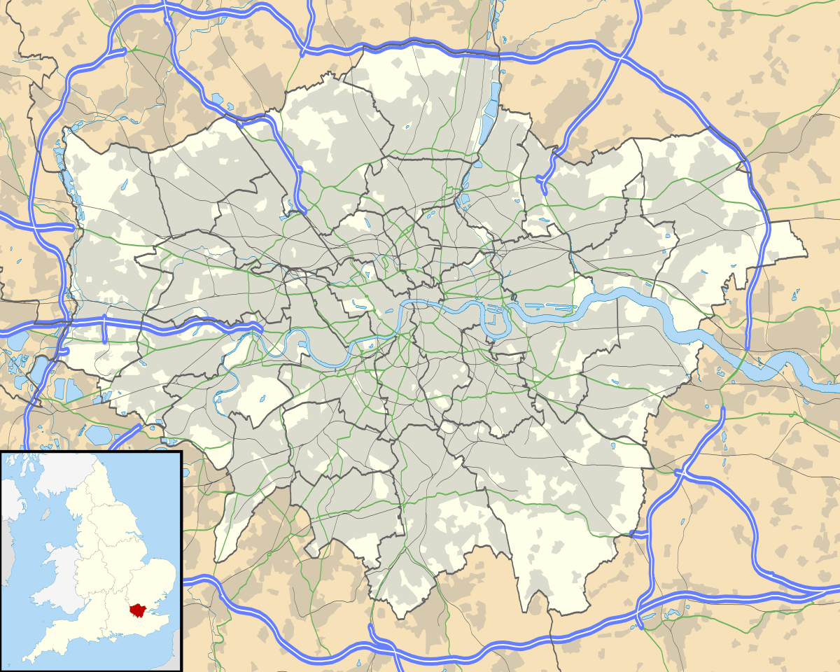 South Wimbledon Location of South Wimbledon in Greater London | |
| Location | South Wimbledon |
| Local authority | London Borough of Merton |
| Managed by | London Underground |
| Owner | Transport for London |
| Number of platforms | 2 |
| Fare zone | 3 and 4 |
| London Underground annual entry and exit | |
| 2014 | |
| 2015 | |
| 2016 | |
| 2017 | |
| 2018 | |
| Railway companies | |
| Original company | City and South London Railway |
| Key dates | |
| 1926 | Opened |
| Listed status | |
| Listing grade | II |
| Entry number | 1358037[3] |
| Added to list | 25 June 1987 |
| Other information | |
| External links | |
| WGS84 | 51.4154°N 0.1919°W |
History
The station was opened on 13 September 1926 as part of the Morden extension of the City & South London Railway south from Clapham Common.[4] On the original plan it had the name "Merton Grove".[5] For geographical accuracy, the station was shown as "South Wimbledon (Merton)" on tube maps from 1928,[6] the name was also modified on platform signage, though not on the station building at street level. From the early-1950s, the "(Merton)" parenthetical fell out of use.[note 1]
Along with the other stations on the Morden extension, the building was designed by architect Charles Holden. They were Holden's first major project for the Underground.[7] He was selected by Frank Pick, general manager of the Underground Electric Railways Company of London (UERL), to design the stations after he was dissatisfied with designs produced by the UERL's own architect, Stanley Heaps.[8] Built with a shop to each side, the modernist design takes the form of a double-height box clad in white Portland stone with a three-part glazed screen on the front façade divided by columns of which the capitals are three-dimensional versions of the Underground roundel. The central panel of the screen contains a large version of the roundel. The station is a Grade II listed building.[3][note 2]
The station is the southernmost station on the London Underground network which has platforms in tunnels (Morden is in an open cut).
Connections
London Buses routes 57, 93, 131, 152, 219, 470 and night route N155 serve the station.
Morden Road tram stop on Tramlink is within walking distance of the station.
Future

A planned new line to the Tramlink light rail or a separate bus rapid transit (BRT) system called the Sutton Link will create a new tram or BRT/tube interchange with new platforms built at South Wimbledon somewhere close to the current station as part of Option 1, offering services to Sutton via St Helier.[11][12]
Notes and references
Notes
- "(Merton)" appears on the 1949 tube map, but not on the 1951 map.
- Holden's other stations on the Morden extension at Clapham South, Balham, Tooting Bec, Tooting Broadway and Colliers Wood are also listed Grade II.[9][10]
References
- "Multi-year station entry-and-exit figures (2007-2017)" (XLSX). London Underground station passenger usage data. Transport for London. January 2018. Retrieved 22 July 2018.
- "Station Usage Data" (CSV). Usage Statistics for London Stations, 2018. Transport for London. 21 August 2019. Retrieved 27 April 2020.
- Historic England. "London Regional Transport Station, Including Adjacent Shops to Left and Right (1358037)". National Heritage List for England. Retrieved 14 February 2015.
- Day, John R; Reed, John (2010) [1963]. The Story of London's Underground (11th ed.). Capital Transport. p. 96. ISBN 978-1-85414-341-9.
- Cyril M. Harris (July 2001). What's in a Name (2008 ed.). Capital Books/London Transport Museum. p. 64. ISBN 1-85414-241-0.
- Rose, Douglas (1999) [1980]. The London Underground, A Diagrammatic History (7th ed.). Douglas Rose/Capital Transport. ISBN 1-85414-219-4.
- Martin, Andrew (2013) [2012]. Underground Overground. Profile Books. p. 186. ISBN 978-1-84668-478-4.CS1 maint: ref=harv (link)
- Orsini, Fiona (2010). Underground Journeys: Charles Holden's designs for London Transport (PDF). V&A + RIBA Architecture Partnership. Archived from the original (PDF) on 14 March 2012. Retrieved 14 February 2015.CS1 maint: ref=harv (link)
- "Listed buildings and borough history". Wandsworth London Borough Council. Retrieved 14 February 2015.
- Listed Buildings: A Guide for Owners (PDF) (Report). Merton London Borough Council. p. 11. Archived from the original (PDF) on 4 March 2016. Retrieved 14 February 2015.
- White, Anna (26 September 2017). "Exclusive: Tramlink extension set to bring 10,000 new homes to south-west London as TfL promises £70m to project". Evening Standard. Retrieved 27 September 2017.
- https://consultations.tfl.gov.uk/trams/sutton-link/
Gallery
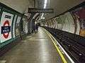 Northbound platform looking south
 Southbound platform looking north
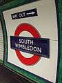 Station platform roundel
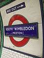 One of the two remaining platform roundel that support the old suffix name "Merton"
External links
| Wikimedia Commons has media related to South Wimbledon tube station. |
| Preceding station | Following station | |||
|---|---|---|---|---|
Terminus | Northern line |
| Stations |
| ||||||||||||
|---|---|---|---|---|---|---|---|---|---|---|---|---|---|
| Rolling stock |
| ||||||||||||
| History |
| ||||||||||||
| Depots | |||||||||||||
| |||||||||||||