Sokyryntsi, Ternopil Oblast
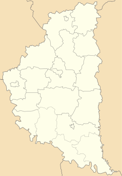
Sokyryntsi (also Sokyrynci, Ukrainian: Соки́ринці, Polish: Siekierzyńce) is a village located at the Zbruch River in the Chortkiv Raion (district) of the Ternopil Oblast (province in western Ukraine).[1] Local government — Sokyrynetska village council.[2]
Sokyryntsi Сокиринці | |
|---|---|
Village | |
 Sokyryntsi | |
| Coordinates: 48°56′55″N 26°12′17″E | |
| Country | |
| Province | |
| District | |
| Area | 1.270 km2 (0.490 sq mi) |
| Elevation | 217 m (712 ft) |
| Population | 253 |
| • Density | 199.21/km2 (516.0/sq mi) |
| Website | село Сокиринці(Ukrainian) |
The village Sokyryntsi is situated in the 99 kilometres (62 mi) from the regional center Ternopil, 42 kilometres (26 mi) from the district center Chortkiv and 23 kilometres (14 mi) from Husiatyn, administrative center of the Husiatyn Raion (district).[3]
The first mention of Sokyryntsi dates from the year 1493. The Archeological sights from Trypillian and Chernyakhov culture were found near the village.
References
- Село Сокиринці (Тернопільська обл.): карта вулиць (in Ukrainian)
- Сокиринецька сільська рада (in Ukrainian)
- DELLA
External links
Literature
- History of Towns and Villages of the Ukrainian SSR, Lvov region. — К. : ГРУРЕ, 1968 р. (in Ukrainian)
- (in Ukrainian) Н. Совінська, Б. Хаварівський, В. Ханас, Сокиринці // Ternopil Encyclopedic Dictionary: in 4 v. / editorial board: H. Yavorskyi and other, Ternopil: "Zbruch", 2008, V. 3: П—Я, S. 306. — ISBN 978-966-528-279-2.
- Holos narodu N 34 (8318), August 24, 2011. “My kraplyny yedynoyi riky” (in Ukrainian)
- Sabine von Löwis. "Phantom borders and ambivalent spaces of identification in Ukraine". L'Espace géographique, Volume 46(2), 2017.
| Cities | Coat of arms of Chortkiv Raion | |
|---|---|---|
| Urban-type settlements |
| |
| Villages |
| |
This article is issued from Wikipedia. The text is licensed under Creative Commons - Attribution - Sharealike. Additional terms may apply for the media files.