Shell, Wyoming
Shell is a census-designated place (CDP) in Big Horn County, Wyoming, United States. The population was 83 at the 2010 Census.
Shell | |
|---|---|
 Sign in Shell | |
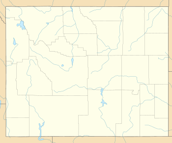 Shell Location within the state of Wyoming | |
| Coordinates: 44°32′8″N 107°46′45″W | |
| Country | United States |
| State | Wyoming |
| County | Big Horn |
| Area | |
| • Total | 1.14 sq mi (2.96 km2) |
| • Land | 1.14 sq mi (2.96 km2) |
| • Water | 0 sq mi (0 km2) |
| Elevation | 4,219 ft (1,286 m) |
| Population | |
| • Total | 83 |
| • Density | 73/sq mi (28/km2) |
| Time zone | UTC-7 (Mountain (MST)) |
| • Summer (DST) | UTC-6 (MDT) |
| ZIP codes | 82441 |
The community is named for the abundance of fossil shells located in the area. Nearby exposed formations such as the Cloverly Formation and the Morrison Formation have yielded numerous fossils of dinosaurs and other animals. Located to the west of the town is the Red Gulch Dinosaur Tracksite, a rare collection of dinosaur tracks from the Jurassic.
Shell is home to the Iowa State University geology field station.[2]
Geography
According to the United States Census Bureau, in 2010 the CDP has a total area of 1.1 square miles (2.96 km²), of which all of it is land.[3]
Shell is located at the base of the Big Horn Mountains, at the mouth of Shell Canyon. Nearby Shell Creek rises in the Big Horn Mountains and joins the Big Horn River just north of Greybull.
References
- "2010 City Population and Housing Occupancy Status". U.S. Census Bureau. Retrieved July 13, 2012.
- https://camp.ge-at.iastate.edu/
- "2010 Wyoming Place Names". U.S. Census Bureau. Archived from the original on April 11, 2011. Retrieved July 13, 2012.


Municipalities and communities of Big Horn County, Wyoming, United States | ||
|---|---|---|
| Towns | 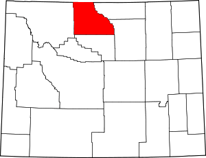 | |
| CDPs | ||
| Unincorporated communities | ||
| Footnotes | ‡This populated place also has portions in an adjacent county or counties | |
| Authority control |
|
|---|