Schneeberg (Alps)
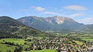
The Schneeberg, with its 2,076-metre (6,811 ft) high summit Klosterwappen, is the highest mountain of Lower Austria, and the easternmost mountain in the Alps to exceed 2000 m. It is a distinctive limestone massif with steep slopes on three sides.
| Schneeberg | |
|---|---|
 East side of the mountain | |
| Highest point | |
| Elevation | 2,076 m (6,811 ft) |
| Prominence | 1,348 m (4,423 ft) |
| Coordinates | 47°46′3″N 15°48′28″E |
| Naming | |
| English translation | snow mountain |
| Language of name | German |
| Pronunciation | German: [ˈʃneːbɛɐk] |
| Geography | |
 Schneeberg Austria | |
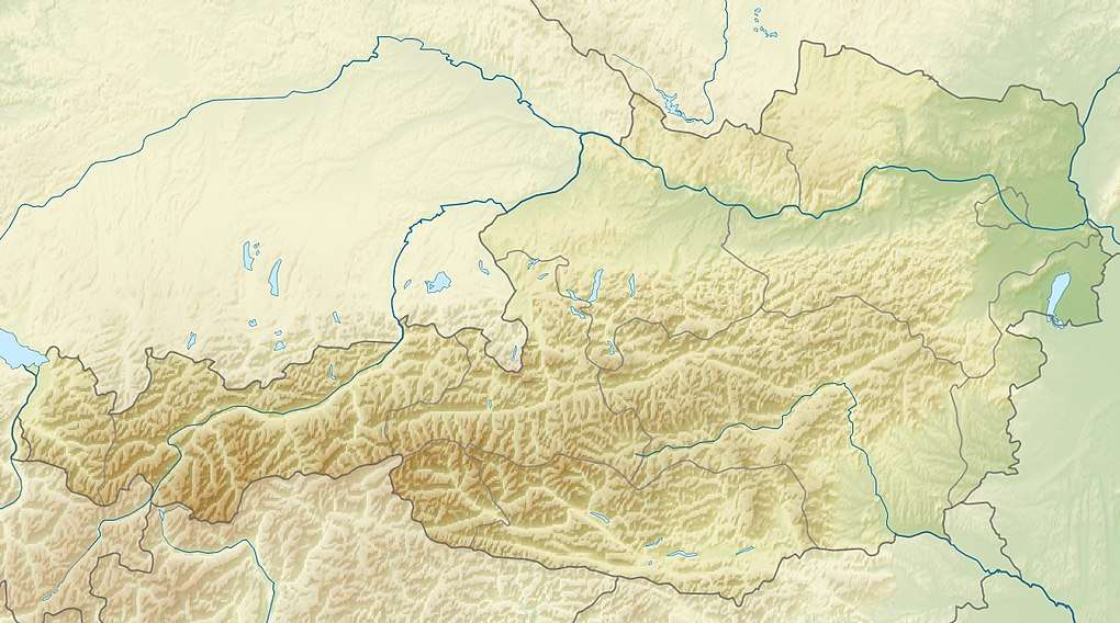
| Location | Lower Austria, Austria |
| Parent range | Northern Limestone Alps |
| Climbing | |
| First ascent | Charles de l'Écluse |
The Schneeberg is one of the Northern Calcareous Alps in the borderland between Lower Austria and Styria, in the eastern part of Austria. It and the Rax (2,007 m or 6,585 ft), some 13 km (8.1 mi) to the south-west, are collectively considered the Viennese Hausberge (Vienna's "local mountains"). The rich Karst plateaux have provided drinking water for Vienna, via a 120 km (75 mi) long pipeline, since 1873, and is claimed to be the best drinking water in the world.
On clear days, Schneeberg can be readily seen from parts of Vienna, some 65 km (40 mi) away (as the crow flies), from Bratislava in Slovakia and even from Babí Lom above Brno 180 km away.
A rack-and-pinion railway, the Schneeberg Railway, now over 100 years old, climbs to a height of 1,800 m (5,900 ft), reducing the walk to the summit to an hour or two. There are also a number of other routes for walkers, including from the spa resort of Puchberg am Schneeberg to the east, or from the south, in Höllental.
The summit plateau has a number of mountain huts which are visited by thousands of walkers, climbers and even mountain-bikers each year.
External links

- Webcams of Losenheim and Puchberg
- Webcams: Schneeberg - Fischerhütte, Damböckhaus, Losenheim
- Bergsteigen.at with information about climbing routes and huts in the Schneeberg/Rax area