Sarichef Island
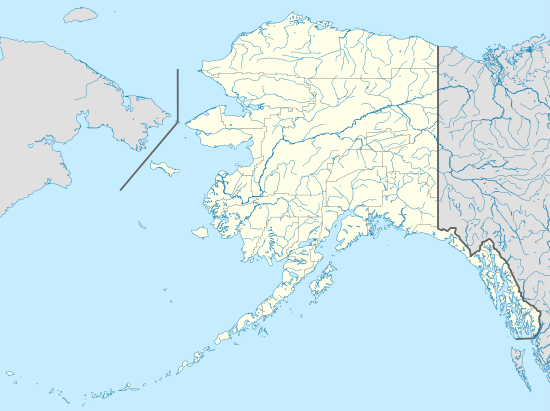
Sarichef Island is a long and narrow coastal island on the Chukchi Sea-facing coast of Alaska. It is located at the mouth of the Shishmaref Inlet, Kotzebue-Kobuk Low. It is located hundred miles east of Russia, which can be seen on clear days. The highest point on the island is the 6-meter cemetery in Shishmaref. The island is rapidly disappearing due to the sea level rise associated with global warming.[2]
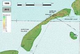 Elevation map | |
 Sarichef | |
| Geography | |
|---|---|
| Location | Nome Census Area, Alaska |
| Coordinates | 66°14′41″N 166°6′25″W |
| Length | 7 km (4.3 mi) |
| Highest elevation | 6 m (20 ft) |
| Administration | |
| Demographics | |
| Population | 591[1] (2006) |
Sarichef Island is 7 km (4.3 mi) in length. The highest point on the island is 6 m (19.7 ft) above sea level.
Shishmaref town and Shishmaref Airport are located on this island.
This island was named in 1816 by explorer Lt. Otto von Kotzebue, of the Imperial Russian Navy, "in the honor of his worthy" Vice Admiral Gavril Sarychev (1763–1831).
See also
- Arctic shrinkage
- Sea Islands
References
- Masters, Jeffrey. "Book Review: Field Notes From A Catastrophe: Weather Underground". Weather Underground. Director of Meteorology. Retrieved 23 December 2010.
- https://www.nrk.no/dokumentar/xl/oya-som-blir-borte-1.13706688 (in Norwegian)
External links