Saint-Clair, Tarn-et-Garonne
Saint-Clair is a commune in the Tarn-et-Garonne department in the Occitanie region in southern France.
Saint-Clair | |
|---|---|
 Coat of arms | |
Location of Saint-Clair 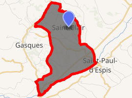
| |
 Saint-Clair  Saint-Clair | |
| Coordinates: 44°09′50″N 0°56′49″E | |
| Country | France |
| Region | Occitanie |
| Department | Tarn-et-Garonne |
| Arrondissement | Castelsarrasin |
| Canton | Valence |
| Intercommunality | Deux Rives |
| Government | |
| • Mayor (2001–2008) | Louis Bouard |
| Area 1 | 8.35 km2 (3.22 sq mi) |
| Population (2017-01-01)[1] | 273 |
| • Density | 33/km2 (85/sq mi) |
| Time zone | UTC+01:00 (CET) |
| • Summer (DST) | UTC+02:00 (CEST) |
| INSEE/Postal code | 82160 /82400 |
| Elevation | 67–181 m (220–594 ft) (avg. 203 m or 666 ft) |
| 1 French Land Register data, which excludes lakes, ponds, glaciers > 1 km2 (0.386 sq mi or 247 acres) and river estuaries. | |
Geography
The Barguelonne forms all of the commune's south-eastern border.
References
- "Populations légales 2017". INSEE. Retrieved 6 January 2020.
| Wikimedia Commons has media related to Saint-Clair (Tarn-et-Garonne). |
| Authority control |
|
|---|
This article is issued from Wikipedia. The text is licensed under Creative Commons - Attribution - Sharealike. Additional terms may apply for the media files.