Súľov-Hradná
Súľov-Hradná is a village and municipality in Bytča District in the Žilina Region of northern Slovakia.
Súľov-Hradná | |
|---|---|
Village | |
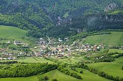 Aerial view on Sulov | |
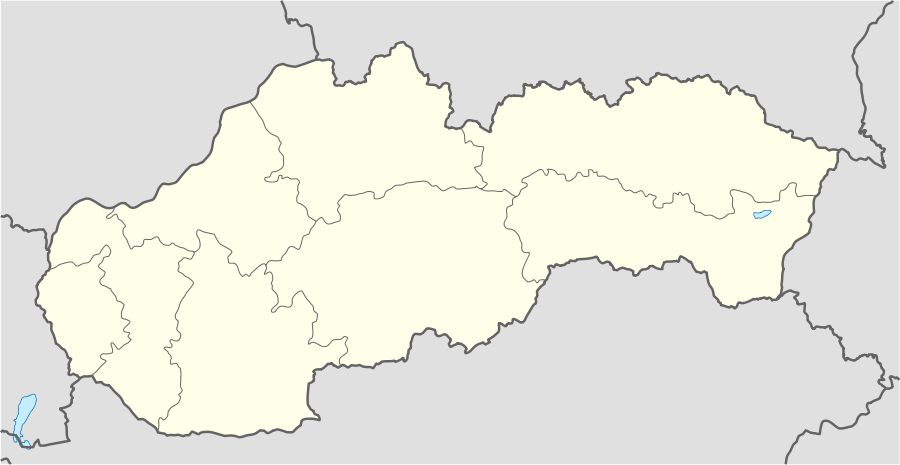 Súľov-Hradná Location of Súľov-Hradná in Slovakia | |
| Coordinates: 49°10′N 18°36′E | |
| Country | Slovakia |
| Region | Žilina |
| District | Bytča |
| First mentioned | 1193 |
| Area | |
| • Total | 22.95 km2 (8.86 sq mi) |
| Elevation | 400 m (1,300 ft) |
| Population (2004-12-31) | |
| • Total | 929 |
| • Density | 40/km2 (100/sq mi) |
| Postal code | 013 52 |
| Area code(s) | +421-41 |
| Car plate | BY |
History
In historical records the village was first mentioned in 1193.
Geography
The municipality lies at an altitude of 400 metres and covers an area of 22.953 km². It has a population of about 929 people.[1]
The village is situated within the Súľov Mountains, and the highest mountain of the picturesque Súľov Rocks, Zibrid (867 m), is part of Súľov-Hradná's territory.
Gallery
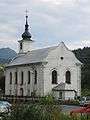 Church in Sulov
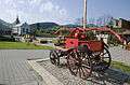 Square with a church and a historical fire truck
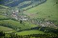 The municipality Súľov-Hradná - Hradná part
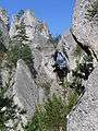 Súľov Rocks
References
External links
- Municipal website (in Slovak)
| Authority control |
|
|---|
This article is issued from Wikipedia. The text is licensed under Creative Commons - Attribution - Sharealike. Additional terms may apply for the media files.